
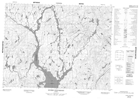
022L06 Riviere Cocoumenen Canada topo map, 1:50,000 scale
022L06 Riviere Cocoumenen NRCAN topographic map.
Includes UTM and GPS geographic coordinates (latitude and longitude). This 50k scale map is suitable for hiking, camping, and exploring, or you could frame it as a wall map.
Printed on-demand using high resolution, on heavy weight and acid free paper, or as an upgrade on a variety of synthetic materials.
Topos available on paper, Waterproof, Poly, or Tyvek. Usually shipping rolled, unless combined with other folded maps in one order.
- Product Number: NRCAN-022L06
- Parent Topo: TOPO-022L
- Map ID also known as: 022L06, 22L6, 22L06
- Unfolded Size: Approximately 26" high by 36" wide
- Weight (paper map): ca. 55 grams
- Map Type: POD NRCAN Topographic Map
- Map Scale: 1:50,000
- Geographical region: Quebec, Canada
Neighboring Maps:
All neighboring Canadian topo maps are available for sale online at 1:50,000 scale.
Purchase the smaller scale map covering this area: Topo-022L
Spatial coverage:
Topo map sheet 022L06 Riviere Cocoumenen covers the following places:
- Lac aux Trois Angles - Lac Balise - Lac de la Grosse Loutre - Lac de l'Exil - Lac du Bruit du Jour - Lac Péribonka - Rivière à la Carpe - Rivière Cocoumenen - Rivière de l'Épinette Rouge - Rivière Duhamel - Rivière Péribonka - Rivière Saint-Onge - Ruisseau de l'Épinette Rouge - Ruisseau du Criquet


