
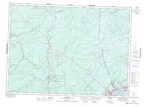
021P04 Sevogle Canada topo map, 1:50,000 scale
021P04 Sevogle NRCAN topographic map.
Includes UTM and GPS geographic coordinates (latitude and longitude). This 50k scale map is suitable for hiking, camping, and exploring, or you could frame it as a wall map.
Printed on-demand using high resolution, on heavy weight and acid free paper, or as an upgrade on a variety of synthetic materials.
Topos available on paper, Waterproof, Poly, or Tyvek. Usually shipping rolled, unless combined with other folded maps in one order.
- Product Number: NRCAN-021P04
- Parent Topo: TOPO-021P
- Map ID also known as: 021P04, 21P4, 21P04
- Unfolded Size: Approximately 26" high by 36" wide
- Weight (paper map): ca. 55 grams
- Map Type: POD NRCAN Topographic Map
- Map Scale: 1:50,000
- Geographical region: New Brunswick, Canada
Neighboring Maps:
All neighboring Canadian topo maps are available for sale online at 1:50,000 scale.
Purchase the smaller scale map covering this area: Topo-021P
Spatial coverage:
Topo map sheet 021P04 Sevogle covers the following places:
- Doyle Cove - French Fort Cove - Canadian Point - Oldfields Point - Big Hole - Miramichi - Estey Falls - North Branch Falls - Bathurst - Chatham - Gloucester - Newcastle - Northesk - Northumberland - Big Hole Tract 8 - Big Hole Tract 8 (North Half) - Big Hole Tract 8 (South Half) - Chaplin Island - Copps Islands - McLaughlin Island - McNeill Island - Oldfields Island - Quigley Island - Shaddick Island - Three Islands - Armstrong Lake - Buckley Pond - Estey Lake - Shaddick Lake - The Lake - Ashton Hill - Ancien palais de justice du comté de Northumberland - Beaverbrook House - Club de golf Miramichi - Église anglicane Saint Paul's - Hôpital Marine - Maison Beaverbrook - Marine (Seaman's) Hospital - Miramichi Golf Club - Old Northumberland County Court House - Saint Paul's Anglican Church - White Rapids - Bartibog River - Bartibog River - Bear Brook - Beaver Brook - Big Brook - Big Sevogle River - Camp Doris Brook - Campbell Brook - Copps Brook - Cow Brook - Crazy Brook - French Fort Brook - Gillen Brook - Gillice Brook - Goodfellows Brook - Green Brook - Greystone Brook - Highbank Brook - Hutchison Brook - John Brook - Juniper Brook - Lee Brook - Little River - Little Sevogle River - Little Sheephouse Brook - Little Wildcat Brook - Lower Green Brook - McEwen Brook - McKay Brook - McKendy Brook - McLaughlin Brook - McNeal Brook - Middle Bartibog River - Middle Branch Bartibog River - Mile Brook - Miramichi River - Mosquito Brook - Mullin Stream - North Branch Big Sevogle River - North Branch Little Bartibog River - North Branch Tomogonops River - North Little Bartibog River - North Sevogle River - Northwest Millstream - Northwest Miramichi River - Ox Brook - Oxford Brook - Pats Brook - Phillips Brook - Portage River - Sandburn Brook - Sevogle River - Sheephouse Brook - Smoker Brook - South Bartibog River - South Branch Bartibog River - South Branch Big Sevogle River - South Branch Little Bartibog River - South Little Bartibog River - South Sevogle River - Sprig Brook - Stairs Brook - Stony Brook - Tingley Brook - Tomogonops River - Tozer Brook - Trout Brook - Two Mile Brook - Upper Wildcat Brook - Whitney Brook - Wild Cat Brook - Wildcat Brook - Wildcat Brook - Youngs Brook - Big Hole Bogan - Crowes Bogan - Square Forks - Wright Bank - Back Lots - Beaver Brook East - Beaver Brook Station - Bellefond - Big Hole - Busby - Bushville - Chaplin Island Road - Chaplin Road - Chatham Head - Cross Roads - Curtis Settlement - Curventon - Douglastown - East Beaver Brook - Highbank - Keefe Road - Lower Chatham Head - Lumsden Road - Maple Glen - Morrissy - Newcastle - Nordin - Patterson - Patterson Siding - Sevogle - Telly Road Crossing - The Crossroads - Trout Brook - Wayerton - Canadian Marsh


