
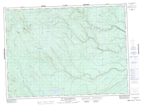
021O01 Big Bald Mountain Canada topo map, 1:50,000 scale
021O01 Big Bald Mountain NRCAN topographic map.
Includes UTM and GPS geographic coordinates (latitude and longitude). This 50k scale map is suitable for hiking, camping, and exploring, or you could frame it as a wall map.
Printed on-demand using high resolution, on heavy weight and acid free paper, or as an upgrade on a variety of synthetic materials.
Topos available on paper, Waterproof, Poly, or Tyvek. Usually shipping rolled, unless combined with other folded maps in one order.
- Product Number: NRCAN-021O01
- Parent Topo: TOPO-021O
- Map ID also known as: 021O01, 21O1, 21O01
- Unfolded Size: Approximately 26" high by 36" wide
- Weight (paper map): ca. 55 grams
- Map Type: POD NRCAN Topographic Map
- Map Scale: 1:50,000
- Geographical region: New Brunswick, Canada
Neighboring Maps:
All neighboring Canadian topo maps are available for sale online at 1:50,000 scale.
Purchase the smaller scale map covering this area: Topo-021O
Spatial coverage:
Topo map sheet 021O01 Big Bald Mountain covers the following places:
- The Narrows - Squirrel Falls - Northesk - Northumberland - Southesk - Allan Pond - Bayles Lake - Bear Lake - Beaver Lake - Bills Lake - Burnt Land Ponds - Christmas Pond - Clearwater Lake - Cuckoo Lake - Deer Lake - First Lake - Guagus Lake - Hubbards Pond - Jacks Lake - Kenny Lake - Moose Lake - Mullin Lake - Mullin Stream Lake - Muskrat Lake - Musquash Pond - Neds Lake - North Pole Lake - Peabody Lake - Riordan Lake - Second Lake - Slacks Lake - South Little River Lake - Spruce Lake - Squirrel Lake - Waubigut Lake - Apskwa Ridge - Big Bald Mountain - Birch Mountain - Caribou Mountain - Colonels Mountain - Historians Range - Maneater Mountain - Middle Mountain - Mount McElwee - Mount Robinson - Mount Webster - Toms Mountain - Barracks Brook - Bear Lake Brook - Big Sevogle River - Bills Brook - Boobey Brook - Clarks Brook - Clearwater Lake Brook - Clearwater Stream - Freeze Brook - Gill Brook - Glory Hole Brook - Hubbard Brook - Johnson Brook - Kagoot Brook - Lake Brook - Little North Branch - Little North Branch Big Sevogle River - Little North Branch Sevogle River - Little North Sevogle River - Little North Sevogle River - Little River - Little Sheephouse Brook - Little South Branch Big Sevogle River - Little South Branch Sevogle River - Little South Sevogle River - Lower North Branch Little Southwest Miramichi River - Lower South Branch Nepisiguit River - Lower South Branch Nipisiguit River - Lower South Nepisiguit River - Moose Brook - Mountain Brook - Muhals Brook - Mullin Stream - North Branch Big Sevogle River - North Branch Mullin Stream - North Branch South Branch Big Sevogle River - North Branch South Sevogle River - North Mullin Stream - North Pole Brook - North Pole Stream - North Sevogle River - Northwest Miramichi River - Peabody Lake Brook - Peters Brook - Pringle Brook - Sandburn Brook - Sheephouse Brook - South Branch Big Sevogle River - South Branch Nepisiguit River - South Branch Nepisiguit River - South Branch Nipisiguit River - South Branch Northwest Miramichi River - South Nepisiguit River - South Sevogle River - Stony Brook - Tozer Brook - Travis Brook - Whitney Brook - Whitney Brook - Mullin Stream Deadwater - Scotts Crossing - Holmes Meadow


