
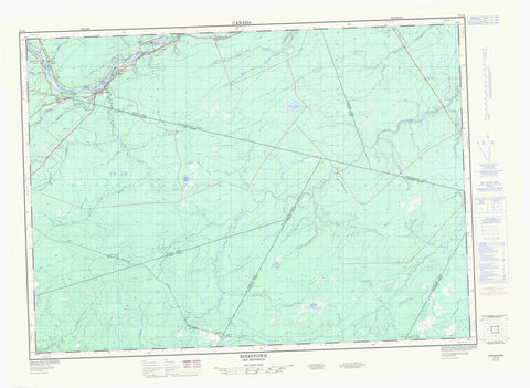
021J08 Boiestown Canada topo map, 1:50,000 scale
021J08 Boiestown NRCAN topographic map.
Includes UTM and GPS geographic coordinates (latitude and longitude). This 50k scale map is suitable for hiking, camping, and exploring, or you could frame it as a wall map.
Printed on-demand using high resolution, on heavy weight and acid free paper, or as an upgrade on a variety of synthetic materials.
Topos available on paper, Waterproof, Poly, or Tyvek. Usually shipping rolled, unless combined with other folded maps in one order.
- Product Number: NRCAN-021J08
- Parent Topo: TOPO-021J
- Map ID also known as: 021J08, 21J8, 21J08
- Unfolded Size: Approximately 26" high by 36" wide
- Weight (paper map): ca. 55 grams
- Map Type: POD NRCAN Topographic Map
- Map Scale: 1:50,000
- Geographical region: New Brunswick, Canada
Neighboring Maps:
All neighboring Canadian topo maps are available for sale online at 1:50,000 scale.
Purchase the smaller scale map covering this area: Topo-021J
Spatial coverage:
Topo map sheet 021J08 Boiestown covers the following places:
- Porter Cove - McCarty Flats - Sand Plum Bar - Hovey Channel - Blissfield - Maugerville - Northfield - Northumberland - Stanley - Sunbury - Boiestown Islands - Burnt Island - Clems Island - McCarty Island - Palmer Island - Portage Island - Portage Islands - Strongbow Island - Burnt Land Brook Lake - Gaspereau Lake - Muzroll Lake - Duff Plain - Bantalor Brook - Bear Brook - Beaver Brook - Betts Mill Brook - Big Hollow Brook - Birch Brook - Blue Rock Brook - Brandy Brook - Burnt Land Brook - Cains River - Clearwater Brook - Conroy Brook - Dark Hollow Brook - Demmons Brook - Duff Brook - East Branch Burnt Land Brook - East Branch Gordon Brook - East Branch Lower Otter Brook - East Brook - Eldridge Brook - Estey Brook - Five Mile Brook - Flewelling Brook - Gaspereau River - Gordon Brook - Gordon Brook - Hickey Brook - Hinchey Brook - Langen Brook - Leighton Brook - Little Blue Rock Brook - Little South Branch Muzroll Brook - Lower Otter Brook - MacDonald Brook - MacDonald Brook - Mahoney Brook - Main Southwest Miramichi River - Mamies Brook - McCallum Brook - McCallum Brook - McCarty Brook - McCoy Brook - McKenzie Brook - McKinley Brook - Michigan Brook - Mountain Brook - Muzroll Brook - Muzroll Brook - North Branch Betts Mill Brook - North Branch Cains River - North Branch Muzroll Brook - North Cains River - North Muzroll Brook - Otter Brook - Palmer Brook - Pleasant Brook - Porter Brook - Sickle Brook - Slingdung Brook - South Branch Betts Mill Brook - South Branch Muzroll Brook - South Muzroll Brook - Southwest Miramichi River - Standish Brook - Stewarts Brook - Taxis Brook - Taxis River - Ten Mile Brook - Tenmile Brook - West Branch Burnt Land Brook - West Branch Gordon Brook - West Branch Lower Otter Brook - West Gordon Brook - Wildcat Brook - Willow Brook - Young Brook - Youngs Brook - Dudleys Bogan - Astle - Bantalor - Bettsburg - Bloomfield Ridge - Boiestown - Ludlow - New Bandon - North Cains - Porter Brook - Porter Cove - Taxis River


