
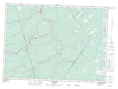
021I12 Blackville Canada topo map, 1:50,000 scale
021I12 Blackville NRCAN topographic map.
Includes UTM and GPS geographic coordinates (latitude and longitude). This 50k scale map is suitable for hiking, camping, and exploring, or you could frame it as a wall map.
Printed on-demand using high resolution, on heavy weight and acid free paper, or as an upgrade on a variety of synthetic materials.
Topos available on paper, Waterproof, Poly, or Tyvek. Usually shipping rolled, unless combined with other folded maps in one order.
- Product Number: NRCAN-021I12
- Parent Topo: TOPO-021I
- Map ID also known as: 021I12, 21I12
- Unfolded Size: Approximately 26" high by 36" wide
- Weight (paper map): ca. 55 grams
- Map Type: POD NRCAN Topographic Map
- Map Scale: 1:50,000
- Geographical region: New Brunswick, Canada
Neighboring Maps:
All neighboring Canadian topo maps are available for sale online at 1:50,000 scale.
Purchase the smaller scale map covering this area: Topo-021I
Spatial coverage:
Topo map sheet 021I12 Blackville covers the following places:
- Inside Channel - Acadieville - Blackville - Blissfield - Huskisson - Kent - Nelson - Northumberland - Rogersville - Doctors Island - Jones Island - Long Island - Mercury Island - Morehouse Island - Washburns Island - Big Forks Lake - Black Brook Lake - Despres Lake - McLain Lake - North Lake - South Lake - Bergins Hill - Campbelltown Hill - Cowie Hill - Molasses Hill - Ancienne église anglicane Trinity - Old Trinity Anglican Church - Hells Gate Rapids - Alagash Brook - Baldwins Brook - Bartholomew River - Beaver Brook - Becket Brook - Bergen Brook - Bergins Brook - Big Forks Brook - Big Forks Stream - Black Brook - Buttermilk Brook - Cains River - Chain Meadow Brook - Cold Brook - Donnelly Brook - Dyer Brook - East Branch Sabbies River - East Sabbies River - Finn Brook - Grindstone Brook - Halfway Spring Brook - Hickey Brook - Hurley Brook - Jardine Brook - Kouchibouguacis River - Little Forks Brook - Little Otter Brook - Mahony Brook - Main Southwest Miramichi River - McDonald Brook - McKenzie Brook - McLaggan Brook - Meadow Brook - Meadow Brook - Mersereaus Brook - Middle Barnaby River - Middle Branch Barnaby River - Moore Brook - Moores Brook - Moore's Brook - Morse Brook - Muzroll Brook - North Branch Black Brook - Otter Brook - Otter Brook - Pickard Brook - Right Hand Branch Barnaby River - Ryan Brook - Sabbies Brook - Sabbies Brook - Sabbies River - Salmon Brook - Semiwagan River - Semiwagan Stream - Six Mile Brook - Sixmile Brook - South Branch Black Brook - South Branch Salmon Brook - Southwest Miramichi River - Sutherland Brook - Sutton Brook - Tomblay Brook - Walsh Brook - Watson Brook - West Branch Little Forks Stream - West Branch Sabbies River - West Sabbies Brook - West Sabbies River - Wildcat Brook - Zacks Brook - Horseshoe Bends - North Forks - Dean Bar - Arbeau - Arbeau Settlement - Bartholomew - Breadalbane - Burr Point - Cains River - Coughlan - Glen Porter - Howard - Keenan Siding - Marcelville - Moran - Morehouse - Shinnickburn - St. Augustine - St-Augustine - Ste-Augustine - The Lots - Underhill - Upper Blackville - Upper Blackville Bridge - Vienneau - Weaver Siding - Young Ridge - Blackville


