
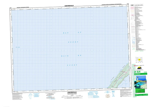
021B09 Centreville Canada topo map, 1:50,000 scale
021B09 Centreville NRCAN topographic map.
Includes UTM and GPS geographic coordinates (latitude and longitude). This 50k scale map is suitable for hiking, camping, and exploring, or you could frame it as a wall map.
Printed on-demand using high resolution, on heavy weight and acid free paper, or as an upgrade on a variety of synthetic materials.
Topos available on paper, Waterproof, Poly, or Tyvek. Usually shipping rolled, unless combined with other folded maps in one order.
- Product Number: NRCAN-021B09
- Parent Topo: TOPO-021B
- Map ID also known as: 021B09, 21B9, 21B09
- Unfolded Size: Approximately 26" high by 36" wide
- Weight (paper map): ca. 55 grams
- Map Type: POD NRCAN Topographic Map
- Map Scale: 1:50,000
- Geographical region: Nova Scotia, Canada
Neighboring Maps:
All neighboring Canadian topo maps are available for sale online at 1:50,000 scale.
Purchase the smaller scale map covering this area: Topo-021B
Spatial coverage:
Topo map sheet 021B09 Centreville covers the following places:
- Baie de Fundy - Bay of Fundy - Centre Cove - Deep Cove - First Cove - Lake Brook Cove - Little Cove - Little Deep Cove - Log Cove - Rileys Cove - Shingle Cove - St. Mary Bay - St. Marys Bay - St. Mary's Bay - Tar Cove - Thomas Cove - Trout Cove - Digby Neck - Long Point - Lower Point - Shipyards Point - Upper Point - Deepwater Channel - The Bluff - Digby - Lake Midway - Midway Lake - Mount Shubley - North Mountain - Digby - Lake Midway Provincial Park - Lake Brook - Clarks Ground - Fishing Rock - St. Mary Shoal - St. Marys Bay Shoal - Centreville - Lake Midway


