
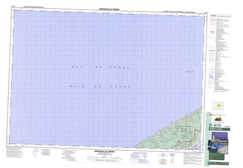
021A13 Granville Ferry Canada topo map, 1:50,000 scale
021A13 Granville Ferry NRCAN topographic map.
Includes UTM and GPS geographic coordinates (latitude and longitude). This 50k scale map is suitable for hiking, camping, and exploring, or you could frame it as a wall map.
Printed on-demand using high resolution, on heavy weight and acid free paper, or as an upgrade on a variety of synthetic materials.
Topos available on paper, Waterproof, Poly, or Tyvek. Usually shipping rolled, unless combined with other folded maps in one order.
- Product Number: NRCAN-021A13
- Parent Topo: TOPO-021A
- Map ID also known as: 021A13, 21A13
- Unfolded Size: Approximately 26" high by 36" wide
- Weight (paper map): ca. 55 grams
- Map Type: POD NRCAN Topographic Map
- Map Scale: 1:50,000
- Geographical region: Nova Scotia, Canada
Neighboring Maps:
All neighboring Canadian topo maps are available for sale online at 1:50,000 scale.
Purchase the smaller scale map covering this area: Topo-021A
Spatial coverage:
Topo map sheet 021A13 Granville Ferry covers the following places:
- Anderson Cove - Baie de Fundy - Bay of Fundy - Bay of Fundy - Bluff Cove - Delap Cove - Delaps Cove - Litchfield Cove - Parkers Cove - Steves Cove - Troop Point - Annapolis - Base des Forces canadiennes Greenwood - Canadian Forces Base Greenwood - Champ de tir et champ de manoeuvre Granville Ferry - Granville Ferry Range and Training Area - North Mountain - North Mountain Range - Annapolis - Anderson Brook - Annapolis River - Bohaker Brook - Bohaker Brook - Cedar Brook - Hillsburn Brook - Litchfield Brook - McCall Brook - Mill Brook - Parkers Cove Brook - Robinson Brook - Sloans Brook - Troop Brook - Worcester Brook - Halftide Ledge - Peeps Ledge - Pollock Rock - Annapolis Royal - Delap Cove - Delaps Cove - Granville Ferry - Hillsburn - Litchfield - Parkers Cove - Annapolis Valley - Uncle Freds Meadow


