
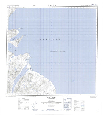
014M12 Iron Strand Canada topo map, 1:50,000 scale
014M12 Iron Strand NRCAN topographic map.
Includes UTM and GPS geographic coordinates (latitude and longitude). This 50k scale map is suitable for hiking, camping, and exploring, or you could frame it as a wall map.
Printed on-demand using high resolution, on heavy weight and acid free paper, or as an upgrade on a variety of synthetic materials.
Topos available on paper, Waterproof, Poly, or Tyvek. Usually shipping rolled, unless combined with other folded maps in one order.
- Product Number: NRCAN-014M12
- Parent Topo: TOPO-014M
- Map ID also known as: 014M12, 14M12
- Unfolded Size: Approximately 26" high by 36" wide
- Weight (paper map): ca. 55 grams
- Map Type: POD NRCAN Topographic Map
- Map Scale: 1:50,000
- Geographical region: Newfoundland and Labrador, Canada
Neighboring Maps:
All neighboring Canadian topo maps are available for sale online at 1:50,000 scale.
Purchase the smaller scale map covering this area: Topo-014M
Spatial coverage:
Topo map sheet 014M12 Iron Strand covers the following places:
- Kangardluaksuk Bay - Ryans Bay - Iron Strand - Collins Point - Goodfellow Peninsula - Hassell Head - Murphy Head - Osborne Point - Pemeluak Peninsula - Eclipse Channel - Roaring Glacier - Howard Lake - Martin Head Tarn - Miriam Lake - Darby Peak - Four Peaks - Mount Ford - Mount Pinsent - Noble Peak - Shittamat Peak - Torngat Mountains - Torugak Mountains - Helga River - Dry Reef - Hogs Back Reef


