
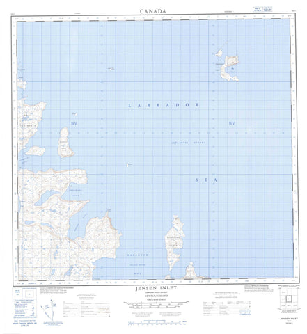
014L01 Jensen Inlet Canada topo map, 1:50,000 scale
014L01 Jensen Inlet NRCAN topographic map.
Includes UTM and GPS geographic coordinates (latitude and longitude). This 50k scale map is suitable for hiking, camping, and exploring, or you could frame it as a wall map.
Printed on-demand using high resolution, on heavy weight and acid free paper, or as an upgrade on a variety of synthetic materials.
Topos available on paper, Waterproof, Poly, or Tyvek. Usually shipping rolled, unless combined with other folded maps in one order.
- Product Number: NRCAN-014L01
- Parent Topo: TOPO-014L
- Map ID also known as: 014L01, 14L1, 14L01
- Unfolded Size: Approximately 26" high by 36" wide
- Weight (paper map): ca. 55 grams
- Map Type: POD NRCAN Topographic Map
- Map Scale: 1:50,000
- Geographical region: Newfoundland and Labrador, Canada
Neighboring Maps:
All neighboring Canadian topo maps are available for sale online at 1:50,000 scale.
Purchase the smaller scale map covering this area: Topo-014L
Spatial coverage:
Topo map sheet 014L01 Jensen Inlet covers the following places:
- Big Cove - Ferdinand Inlet - Green Cove - Jensen Inlet - Napaktok (Black Duck) Bay - Takkatat Inlet - Harp Peninsula - Sungilik Point - Finger Hill Island - Flat Island - Illuvertalik Island - Kingmirtok Island - Kruth Island - Murchif Island - Soapstone Island - Watchman Island - Labrador Sea - Mer du Labrador - Cod Rock - Finger Rock


