
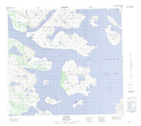
014F05 Nutak Canada topo map, 1:50,000 scale
014F05 Nutak NRCAN topographic map.
Includes UTM and GPS geographic coordinates (latitude and longitude). This 50k scale map is suitable for hiking, camping, and exploring, or you could frame it as a wall map.
Printed on-demand using high resolution, on heavy weight and acid free paper, or as an upgrade on a variety of synthetic materials.
Topos available on paper, Waterproof, Poly, or Tyvek. Usually shipping rolled, unless combined with other folded maps in one order.
- Product Number: NRCAN-014F05
- Parent Topo: TOPO-014F
- Map ID also known as: 014F05, 14F5, 14F05
- Unfolded Size: Approximately 26" high by 36" wide
- Weight (paper map): ca. 55 grams
- Map Type: POD NRCAN Topographic Map
- Map Scale: 1:50,000
- Geographical region: Newfoundland and Labrador, Canada
Neighboring Maps:
All neighboring Canadian topo maps are available for sale online at 1:50,000 scale.
Purchase the smaller scale map covering this area: Topo-014F
Spatial coverage:
Topo map sheet 014F05 Nutak covers the following places:
- Cut Throat Harbour - Hodgdon Harbour - Kangekluaksuk (Slambang) Bay - Okak Bay - Slam Bang Bay - Ublik Bay - Woody Bay - Kongasek Neck - Niakhok Point - Niakok Point - Platt's Point - Ubilik Peninsula - Ublik Peninsula - Udlik Peninsula - Uibarsurasek Point - Ikkerasarsuk Strait - Moores Island Tickle - Blow Hard Island - Brazen Island - Cut Throat Island - Iglusuaktalialuk Island - Iluvektalik Island - Khikkertarsoak South Island - Kikiktaksoak Island - Kikkertarjote Island - Killitakuluk Island - Nuasornak Island - Okak Islands - Opingiviksuak Island - South Amitok Island - Tikkigatsiagak Island - Makkak Hill - Nakavik Brook - Labrador Sea - Mer du Labrador - Windsor Shoal - Cut Throat - Cutthroat - Nutak


