
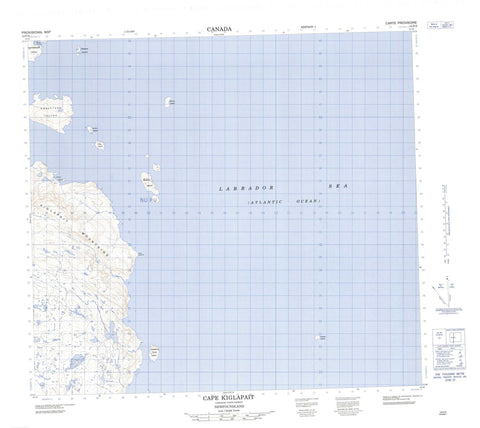
014F03 Cape Kiglapait Canada topo map, 1:50,000 scale
014F03 Cape Kiglapait NRCAN topographic map.
Includes UTM and GPS geographic coordinates (latitude and longitude). This 50k scale map is suitable for hiking, camping, and exploring, or you could frame it as a wall map.
Printed on-demand using high resolution, on heavy weight and acid free paper, or as an upgrade on a variety of synthetic materials.
Topos available on paper, Waterproof, Poly, or Tyvek. Usually shipping rolled, unless combined with other folded maps in one order.
- Product Number: NRCAN-014F03
- Parent Topo: TOPO-014F
- Map ID also known as: 014F03, 14F3, 14F03
- Unfolded Size: Approximately 26" high by 36" wide
- Weight (paper map): ca. 55 grams
- Map Type: POD NRCAN Topographic Map
- Map Scale: 1:50,000
- Geographical region: Newfoundland and Labrador, Canada
Neighboring Maps:
All neighboring Canadian topo maps are available for sale online at 1:50,000 scale.
Purchase the smaller scale map covering this area: Topo-014F
Spatial coverage:
Topo map sheet 014F03 Cape Kiglapait covers the following places:
- Buckets Bite - Dawes Harbour - Perrys Gulch - Cape Kiglapait - Barnes Island - Barney Island - Beachy Island - Brewer Island - Fenstone Tickle Island - Graveyard Island - Kikiktaksoak Island - Marland Islands - Orphan Island - Sutton Island - Treat Island - Kiglapait Mountains - Labrador Sea - Mer du Labrador


