
013O05W Double Islands Canada topo map, 1:50,000 scale
013O05W Double Islands NRCAN topographic map.
Includes UTM and GPS geographic coordinates (latitude and longitude). This 50k scale map is suitable for hiking, camping, and exploring, or you could frame it as a wall map.
Printed on-demand using high resolution, on heavy weight and acid free paper, or as an upgrade on a variety of synthetic materials.
Topos available on paper, Waterproof, Poly, or Tyvek. Usually shipping rolled, unless combined with other folded maps in one order.
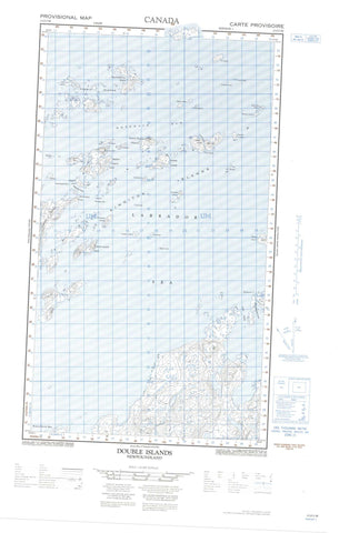
- Halfsheet: This map was designed as a half sheet of NRCAN-013O05, and it is the Western half. Find the eastern half sheet here.
- Product Number: NRCAN-013O05W
- Parent Topo: TOPO-013O
- Map ID also known as: 013O05, 13O5, 13O05
- Unfolded Size: Approximately 26" high by 36" wide
- Weight (paper map): ca. 55 grams
- Map Type: POD NRCAN Topographic Map
- Map Scale: 1:50,000
- Geographical region: Newfoundland and Labrador, Canada
Neighboring Maps:
All neighboring Canadian topo maps are available for sale online at 1:50,000 scale.
Purchase the smaller scale map covering this area: Topo-013O
Spatial coverage:
Topo map sheet 013O05W Double Islands covers the following places:
- Trap Cove - Hirosalik - Niachungoat Head - Tikeratsuk Point - Tikkerarsuksekkinerlik Point - Winsor Point - Blind Mugford Tickle - Flagstaff Tickle - Hares Tickle - Hopedale Run - Lillian Island Tickle - Tickle Arichat - Gulch Cliff - Akkellikulluk Islands - Amikojoak Island - Angijokasek Islands - Annaltalik Island - Antoines Island - Antons Island - Arlorkak Island - Assungak Island - Aupaluktak Island - Big Flat Island - Blockstones Island - Brown Islet - Burgomaster Island - Coupling Island - Crab Island - Cross Island - Dark Cap Island - Ditch Island - Dory Islets - Double Islands - Dovekie Island - Dumb Shoal Island - Eastern Kingitok Island - Ephus Island - Fin Island - Fish Islands - Flagstaff Island - Grey Islands - Guide Island - Guillemot Island - Gull Island - Hares Island - Hares Islands - Imnaliksekkineklik Island - Jaralak Island - Kingitok Islands - Kokkorvik Island - Lake Island - Lillian Islands - Lily Islands - Mallet Island - Marykulluk Island - Mussel Islands - Napajotalik Island - Naugatsigarsuk Island - Naulikattarvik Island - North Imnalik Island - Passage Islet - Plant Islands - Red Islands - Rose Island - Roses Island - Saklasuk Islands - Search Island - Sennigardlek Island - Shadow Island - Small Flat Island - Small Gull Island - Snow Island - South Imnalik Island - Spotty Island - Striped Island - Stump Island - Sweethome Island - Tailor Island - The Bosses - The Clusters - The Lillies - Tick Islet - Torartok Island - Two Stones Island - Uigordlek Island - Western Kingitok Island - White Bear Island - White Mark Islands - Winsor Harbour Island - Women Island - Labrador Sea - Mer du Labrador - Beluga Rocks - Finback Rock - Nightingale Rock - Pond Rock - Shearwater Shoals - Stake Rock


