
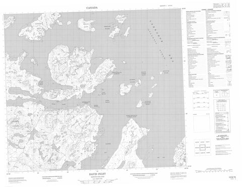
013N15 Davis Inlet Canada topo map, 1:50,000 scale
013N15 Davis Inlet NRCAN topographic map.
Includes UTM and GPS geographic coordinates (latitude and longitude). This 50k scale map is suitable for hiking, camping, and exploring, or you could frame it as a wall map.
Printed on-demand using high resolution, on heavy weight and acid free paper, or as an upgrade on a variety of synthetic materials.
Topos available on paper, Waterproof, Poly, or Tyvek. Usually shipping rolled, unless combined with other folded maps in one order.
- Product Number: NRCAN-013N15
- Parent Topo: TOPO-013N
- Map ID also known as: 013N15, 13N15
- Unfolded Size: Approximately 26" high by 36" wide
- Weight (paper map): ca. 55 grams
- Map Type: POD NRCAN Topographic Map
- Map Scale: 1:50,000
- Geographical region: Newfoundland and Labrador, Canada
Neighboring Maps:
All neighboring Canadian topo maps are available for sale online at 1:50,000 scale.
Purchase the smaller scale map covering this area: Topo-013N
Spatial coverage:
Topo map sheet 013N15 Davis Inlet covers the following places:
- Big Bay - Flowers Bay - Newfoundland Harbour - North Tikigakjuk (Narrow) Point - Smooth Land Point - Davis Inlet - Akpalik (Tinker) Island - Ayagatot Island - Entry Island - Flat Island - Freestone Islands - Iluikoyak Island - Kasungatak Island - Katauyak Island - Kutallik (Massacre) Island - Pigeon Island - Red Island - Sioralik Island - Solomon Islands - Ukasiksalik Island - Merrifield Mountain - Post Hill - The Rattle - Labrador Sea - Mer du Labrador - Duck Rock - Mountaineer Rock (Adlauyavik) - Red Island Rock - The Bar - Davis Inlet


