
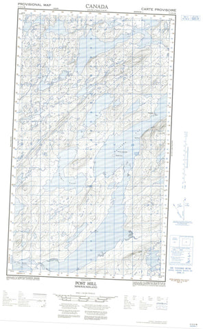
013J13W Post Hill Canada topo map, 1:50,000 scale
013J13W Post Hill NRCAN topographic map.
Includes UTM and GPS geographic coordinates (latitude and longitude). This 50k scale map is suitable for hiking, camping, and exploring, or you could frame it as a wall map.
Printed on-demand using high resolution, on heavy weight and acid free paper, or as an upgrade on a variety of synthetic materials.
Topos available on paper, Waterproof, Poly, or Tyvek. Usually shipping rolled, unless combined with other folded maps in one order.
- Halfsheet: This map was designed as a half sheet of NRCAN-013J13, and it is the Western half. Find the eastern half sheet here.
- Product Number: NRCAN-013J13W
- Parent Topo: TOPO-013J
- Map ID also known as: 013J13, 13J13
- Unfolded Size: Approximately 26" high by 36" wide
- Weight (paper map): ca. 55 grams
- Map Type: POD NRCAN Topographic Map
- Map Scale: 1:50,000
- Geographical region: Newfoundland and Labrador, Canada
Neighboring Maps:
All neighboring Canadian topo maps are available for sale online at 1:50,000 scale.
Purchase the smaller scale map covering this area: Topo-013J
Spatial coverage:
Topo map sheet 013J13W Post Hill covers the following places:
- Alkami Bight - Belle Aways Cove - Big Woody Bight - English River Bight - Gouru Bight - Kaipokok Bay - Salmon Bight - Shoal Cove - Alkami Point - Big Point - Gouru Point - Partridge Point - Rapid Point - Shoal Cove Point - Shoal Point - Unlucky Head - Alkami Island - EnglishRiver Island - Pugaviks Island - Pugaviks Islands - The Sisters - Woody Island - Alkami Pond - Bear Pond - Beaver River Pond - Big Pond - East Micmac Lake - English River Pond - Goulu Pond - Gourou Pond - Makkovik Lake - Micmac Lake - Salmon Pond - Second Rapid Pond - Witch Doctor Lake - Post Hill - Three Rapids - Alkami Brook - Beaver River - English River - Gordons River - Kaipokok River - Little River - Long Point Brook - Makkovik River - Salmon Brook - Harrys Reef - Woody Island Rock - Sunnyside - Postville


