
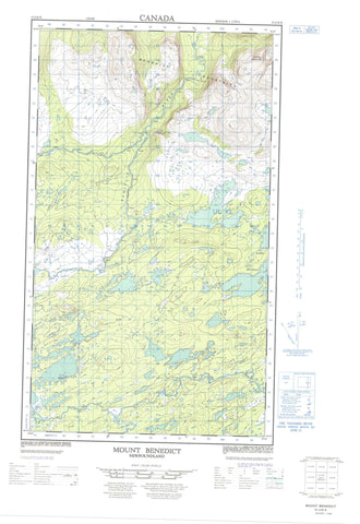
013J10E Mount Benedict Canada topo map, 1:50,000 scale
013J10E Mount Benedict NRCAN topographic map.
Includes UTM and GPS geographic coordinates (latitude and longitude). This 50k scale map is suitable for hiking, camping, and exploring, or you could frame it as a wall map.
Printed on-demand using high resolution, on heavy weight and acid free paper, or as an upgrade on a variety of synthetic materials.
Topos available on paper, Waterproof, Poly, or Tyvek. Usually shipping rolled, unless combined with other folded maps in one order.
- Halfsheet: This map was designed as a half sheet of NRCAN-013J10, and it is the Eastern half. Find the western half sheet here.
- Product Number: NRCAN-013J10E
- Parent Topo: TOPO-013J
- Map ID also known as: 013J10, 13J10
- Unfolded Size: Approximately 26" high by 36" wide
- Weight (paper map): ca. 55 grams
- Map Type: POD NRCAN Topographic Map
- Map Scale: 1:50,000
- Geographical region: Newfoundland and Labrador, Canada
Neighboring Maps:
All neighboring Canadian topo maps are available for sale online at 1:50,000 scale.
Purchase the smaller scale map covering this area: Topo-013J
Spatial coverage:
Topo map sheet 013J10E Mount Benedict covers the following places:
- Evelyn Lake - Lake Michael - Muskrat Pond - Pomialuk Pond - Race Pond - Tessialuk Pond - Benedict Mountains - Butchers Hill - Mount Benedict - Salmon Bight Hills - Pamialic River - Pamiulik River - Pomialuk Brook - Stag Bay Brook - Bootstick Barrens


