
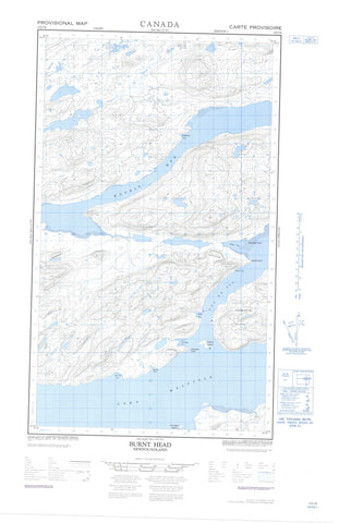
013J02E Burnt Head Canada topo map, 1:50,000 scale
013J02E Burnt Head NRCAN topographic map.
Includes UTM and GPS geographic coordinates (latitude and longitude). This 50k scale map is suitable for hiking, camping, and exploring, or you could frame it as a wall map.
Printed on-demand using high resolution, on heavy weight and acid free paper, or as an upgrade on a variety of synthetic materials.
Topos available on paper, Waterproof, Poly, or Tyvek. Usually shipping rolled, unless combined with other folded maps in one order.
- Halfsheet: This map was designed as a half sheet of NRCAN-013J02, and it is the Eastern half. Find the western half sheet here.
- Product Number: NRCAN-013J02E
- Parent Topo: TOPO-013J
- Map ID also known as: 013J02, 13J2, 13J02
- Unfolded Size: Approximately 26" high by 36" wide
- Weight (paper map): ca. 55 grams
- Map Type: POD NRCAN Topographic Map
- Map Scale: 1:50,000
- Geographical region: Newfoundland and Labrador, Canada
Neighboring Maps:
All neighboring Canadian topo maps are available for sale online at 1:50,000 scale.
Purchase the smaller scale map covering this area: Topo-013J
Spatial coverage:
Topo map sheet 013J02E Burnt Head covers the following places:
- Big Pot Cove - Big Pot Cove - Caravalla Cove - Connocks Cove - Coopers Cove - Double Mer - Elsies Harbour - Groves Harbour - Hamilton Inlet - Little Pot Cove - Little Pot Cove - Lower Station - Middle House Cove - Middlehouse Cove - Moliak Cove - Molioch Cove - Old House Cove - Ships Harbour - Snooks Cove - Valley Bay - Alexander Point - Anns Point - Bellas Points - Blunt Point - Brooks Rocks - Burnt Head - Campbells Point - Campbetter Point - Caravalla Point - Connocks Point - Cutlers Head - George Deers Nap - Green Point - Halfway Point - Juniper Point - Juniper Point - Juniper Point - Long Point - Masons Point - Middle House Point - Moliak Point - Molioch - Sandy Point - Stag Head - Stag Head - Stag Head Point - Whittles Point - Cul de Sac - Cul-de-Sac - The Narrows - The Narrows - Carrington Island - Eskimo Island - Henrietta Island - Long Point Island - Peter Lewis Island - Shag Island - Stag Island - Dennys Pond - Lake Melville - Molioch Pond - Saltwater Pond - Big Hill - Mountain Calvary - Pompeys Head - The Scow - White Hill - Bells Brook - Big Brook - Dinner Brook - Goose Brook - Grants Brook - Little Brook - Snooks Brook - Whittles Point Brook - Blue Seal Shoal - Middle House - The Arm - Double Mer Barrens


