
013I11W Holton Harbour Canada topo map, 1:50,000 scale
013I11W Holton Harbour NRCAN topographic map.
Includes UTM and GPS geographic coordinates (latitude and longitude). This 50k scale map is suitable for hiking, camping, and exploring, or you could frame it as a wall map.
Printed on-demand using high resolution, on heavy weight and acid free paper, or as an upgrade on a variety of synthetic materials.
Topos available on paper, Waterproof, Poly, or Tyvek. Usually shipping rolled, unless combined with other folded maps in one order.
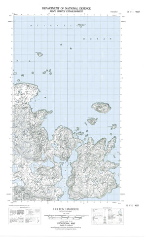
- Halfsheet: This map was designed as a half sheet of NRCAN-013I11, and it is the Western half. Find the eastern half sheet here.
- Product Number: NRCAN-013I11W
- Parent Topo: TOPO-013I
- Map ID also known as: 013I11, 13I11
- Unfolded Size: Approximately 26" high by 36" wide
- Weight (paper map): ca. 55 grams
- Map Type: POD NRCAN Topographic Map
- Map Scale: 1:50,000
- Geographical region: Newfoundland and Labrador, Canada
Neighboring Maps:
All neighboring Canadian topo maps are available for sale online at 1:50,000 scale.
Purchase the smaller scale map covering this area: Topo-013I
Spatial coverage:
Topo map sheet 013I11W Holton Harbour covers the following places:
- Alliuk Bight - Brig Harbour - Dark Tickle Harbour - Emily Harbour - Holton Harbour - Horse Harbour - Little Holton - Sloop Harbour - Teapot Cove - Long Point - Man of War Point - Rill Point - Sloop Harbour Point - Teapot Head - Boaz Island - Brig Harbour Island - Butt Island - Camel Island - Chance Island - Coffee Island - Cut Throat Island - Deadman Island - Double Island - Duck Island - Duck Islands - Fairy Island - Flat Island - Fox Island - Green Island - Green Island - Green Islet - Holton Island - Lark Island - Little Brig Island - Little Pigeon Island - Marks Island - Northern Group - Pigeon Island - Quaker Hat - Run By Guess Island - Teapot Island - Thomey Island - White Cockade Island - Black Rock - Brig Harbour Rock - Brig Harbour Shoal - Harbour Rock - Harbour Rock - Isolated Rock - Quaker Reef - Taylor Rock - Emily Harbour - Holton


