
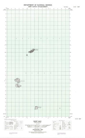
013I03E West Bay Canada topo map, 1:50,000 scale
013I03E West Bay NRCAN topographic map.
Includes UTM and GPS geographic coordinates (latitude and longitude). This 50k scale map is suitable for hiking, camping, and exploring, or you could frame it as a wall map.
Printed on-demand using high resolution, on heavy weight and acid free paper, or as an upgrade on a variety of synthetic materials.
Topos available on paper, Waterproof, Poly, or Tyvek. Usually shipping rolled, unless combined with other folded maps in one order.
- Halfsheet: This map was designed as a half sheet of NRCAN-013I03, and it is the Eastern half. Find the western half sheet here.
- Product Number: NRCAN-013I03E
- Parent Topo: TOPO-013I
- Map ID also known as: 013I03, 13I3, 13I03
- Unfolded Size: Approximately 26" high by 36" wide
- Weight (paper map): ca. 55 grams
- Map Type: POD NRCAN Topographic Map
- Map Scale: 1:50,000
- Geographical region: Newfoundland and Labrador, Canada
Neighboring Maps:
All neighboring Canadian topo maps are available for sale online at 1:50,000 scale.
Purchase the smaller scale map covering this area: Topo-013I
Spatial coverage:
Topo map sheet 013I03E West Bay covers the following places:
- Cuff Harbour - Fish Cove - Groswater Bay - Hamilton Inlet - New Harbour - Plances Bight - Pottles Cove - Tub Harbour - Upper Fish Cove - Upper Sandy Cove - West Bay - West Bay - Big Head - Fish Cove Point - Pottles Cove Head - Woody Point - Cuff Tickle - Cuff Islands - Drakes Island - George Island - Green Island - Little Tumbledown Dick Island - New Harbour Island - North Stag Islands - Old Man Island - South Duck Islands - South Green Island - South Stag Island - Tub Island - Tumbledown Dick Island - Beaver Brook - Bakers Ledge - Black Rock - Black Rock - Black Rocks - Mad Moll - Norman Reef - Shag Rocks - West Bay


