
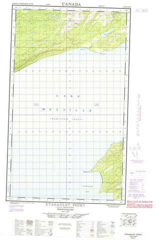
013G14E Etagaulet Point Canada topo map, 1:50,000 scale
013G14E Etagaulet Point NRCAN topographic map.
Includes UTM and GPS geographic coordinates (latitude and longitude). This 50k scale map is suitable for hiking, camping, and exploring, or you could frame it as a wall map.
Printed on-demand using high resolution, on heavy weight and acid free paper, or as an upgrade on a variety of synthetic materials.
Topos available on paper, Waterproof, Poly, or Tyvek. Usually shipping rolled, unless combined with other folded maps in one order.
- Halfsheet: This map was designed as a half sheet of NRCAN-013G14, and it is the Eastern half. Find the western half sheet here.
- Product Number: NRCAN-013G14E
- Parent Topo: TOPO-013G
- Map ID also known as: 013G14, 13G14
- Unfolded Size: Approximately 26" high by 36" wide
- Weight (paper map): ca. 55 grams
- Map Type: POD NRCAN Topographic Map
- Map Scale: 1:50,000
- Geographical region: Newfoundland and Labrador, Canada
Neighboring Maps:
All neighboring Canadian topo maps are available for sale online at 1:50,000 scale.
Purchase the smaller scale map covering this area: Topo-013G
Spatial coverage:
Topo map sheet 013G14E Etagaulet Point covers the following places:
- Charley Cove - Coleys Arm - Double Mer - Hamilton Inlet - Swallow Harbour - Charley Point - Etagaulet Point - Julia Point - Lob Point - Lowland Point - Barred Islands - Lake Melville - The Highlands - Charley Brook - Fidos Brook - Frenchmans Brook - Trouting Brook - Lowland Barrens


