
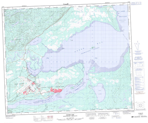
013F08 Goose Bay Canada topo map, 1:50,000 scale
013F08 Goose Bay NRCAN topographic map.
Includes UTM and GPS geographic coordinates (latitude and longitude). This 50k scale map is suitable for hiking, camping, and exploring, or you could frame it as a wall map.
Printed on-demand using high resolution, on heavy weight and acid free paper, or as an upgrade on a variety of synthetic materials.
Topos available on paper, Waterproof, Poly, or Tyvek. Usually shipping rolled, unless combined with other folded maps in one order.
- Product Number: NRCAN-013F08
- Parent Topo: TOPO-013F
- Map ID also known as: 013F08, 13F8, 13F08
- Unfolded Size: Approximately 26" high by 36" wide
- Weight (paper map): ca. 55 grams
- Map Type: POD NRCAN Topographic Map
- Map Scale: 1:50,000
- Geographical region: Newfoundland and Labrador, Canada
Neighboring Maps:
All neighboring Canadian topo maps are available for sale online at 1:50,000 scale.
Purchase the smaller scale map covering this area: Topo-013F
Spatial coverage:
Topo map sheet 013F08 Goose Bay covers the following places:
- Goose Airport - Goose Bay - Hamilton Inlet - Terrington Basin - The Bight - Charles Point - English Point - Geyts Point - Gibeon Point - Groves Point - Middle Point - Muldoon Point - Sandy Point - Shoal Point - Goose Bay Narrows - Terrington Narrows - Birch Island - Lower Island - Man o'War Island - Rabbit Island - Snake Island - Gosling Lake - Lake Melville - McLean Lake - Mud Lake - Muskrat Lake - Base des Forces canadiennes Goose Bay - Canadian Forces Base Goose Bay - Birch Brook - Birch Island Creek - Churchill River - Fleuve Churchill - Goose River - Gosling Brook - Hamilton River - Otter Creek - Peter Jackies Brook - Traverspine River - Goose Bay - Happy Valley - Happy Valley-Goose Bay - Hamilton River - Mud Lake - Spruce Park - Spring Gulch


