
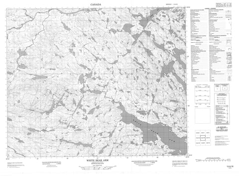
013A16 White Bear Arm Canada topo map, 1:50,000 scale
013A16 White Bear Arm NRCAN topographic map.
Includes UTM and GPS geographic coordinates (latitude and longitude). This 50k scale map is suitable for hiking, camping, and exploring, or you could frame it as a wall map.
Printed on-demand using high resolution, on heavy weight and acid free paper, or as an upgrade on a variety of synthetic materials.
Topos available on paper, Waterproof, Poly, or Tyvek. Usually shipping rolled, unless combined with other folded maps in one order.
- Product Number: NRCAN-013A16
- Parent Topo: TOPO-013A
- Map ID also known as: 013A16, 13A16
- Unfolded Size: Approximately 26" high by 36" wide
- Weight (paper map): ca. 55 grams
- Map Type: POD NRCAN Topographic Map
- Map Scale: 1:50,000
- Geographical region: Newfoundland and Labrador, Canada
Neighboring Maps:
All neighboring Canadian topo maps are available for sale online at 1:50,000 scale.
Purchase the smaller scale map covering this area: Topo-013A
Spatial coverage:
Topo map sheet 013A16 White Bear Arm covers the following places:
- Burn Cove - Campbells Cove - Hawke Bay - Kellys Cove - Little Brook Cove - Old Man's Cove - Round Harbour - Southern Backwater - St. Michaels Bay - White Bear Arm - Willies Cove - Burnt Point - Fox Point - Long ShoalsPoint - Partridge Mountain Point - Porcupine Head - Salt Pond Point - Seal Point - Willies Cove Point - Captain Jack's Tickle - Burn Island - Goose Island - Horn Island - Juniper Island - Little Brook Island - Little Burnt Island - Little Juniper Island - Old Mans Island - Old Man's Island - Smokey Island - Bare Hill Pond - Big Burnt Pond - Big Feeder Pond - Big North Lake - Big Southeast Pond - Brazells Pond - Burn Pond - Cape Bluff Pond - Clarences Pond - Condon Pond - Couchys Pond - Daddys Deer Pond - Dory Lake - Garden Pond - Goose Lake - Grandfathers Pond - Gull Lake - Hook Hill Pond - Inner Beaver Lake - Jessies Lake - John Martins Pond - Little Burnt Pond - Little Feeder Pond - Little Gull Lake - Loon Lake - Middle Lake - Middle Pond - Mile Pond - Old Tilt Lake - Parsons Pond - Pearl Lake - Peters Pond - Prowses Ponds - Rocky Island Pond - Rocky Pond - Rolands Pond - Round Harbour Pond - Round Island Lake - Salt Pond - Seven Mile Pond - Southeast Pond - Southeast Pond - Spare Pond - Three Mile Pond - Wester Tilt Lake - White Fox Pond - White Hills Lake - Bare Hill - Coopers White Hill - Coopers White Hills - Goose Island Hill - Hook Hill - St. Michaels White Hills - Tommys Mountain - Alex Campbells Brook - Gilbert River - Hawke River - Northwest Feeder - Peters Brook - Peters Brook - Southwest Feeder - Toms Brook - Wester Brook - Western Feeder - DuckRocks - Charlottetown


