
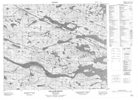
013A09 Port Hope Simpson Canada topo map, 1:50,000 scale
013A09 Port Hope Simpson NRCAN topographic map.
Includes UTM and GPS geographic coordinates (latitude and longitude). This 50k scale map is suitable for hiking, camping, and exploring, or you could frame it as a wall map.
Printed on-demand using high resolution, on heavy weight and acid free paper, or as an upgrade on a variety of synthetic materials.
Topos available on paper, Waterproof, Poly, or Tyvek. Usually shipping rolled, unless combined with other folded maps in one order.
- Product Number: NRCAN-013A09
- Parent Topo: TOPO-013A
- Map ID also known as: 013A09, 13A9, 13A09
- Unfolded Size: Approximately 26" high by 36" wide
- Weight (paper map): ca. 55 grams
- Map Type: POD NRCAN Topographic Map
- Map Scale: 1:50,000
- Geographical region: Newfoundland and Labrador, Canada
Neighboring Maps:
All neighboring Canadian topo maps are available for sale online at 1:50,000 scale.
Purchase the smaller scale map covering this area: Topo-013A
Spatial coverage:
Topo map sheet 013A09 Port Hope Simpson covers the following places:
- Alexis Bay - Gilbert Bay - Mill Cove - Mosquito - Sadlers Arm - St. Michaels Bay - Newmans Head - Old Soldier - Bassmans Tickle - Dark Tickle - Light Tickle - Mungo Run - Northern Ships Run - Big Coopers Island - Grove Island - Juniper Island - Juniper Island - Lazyman Island - Little Coopers Island - Nevile Island - Blackwater Pond - Blow Me Down Pond - Broom Pond - Camp 17 Pond - Camp 5 Pond - Camp 6 Pond - Cannings Pond - Charles Pond - Charles Pond Steady - Dam Pond - Danes Pond - Feeder Pond - Four Ponds - Gilbert Lake - Johnnys Pond - Long Pond - Notleys Pond - Shinneys Big Pond - Shinneys Long Pond - Trout Pond - Western Pond - White Hill Pond - Witch Pond - Wolf Rub Pond - Blow Me Down Hill - Joe Clarks Hill - Alexis River - Blackwater Brook - Bobbys Brook - Gilbert River - Long Pond Brook - Notleys Brook - Reeves Brook - Shinneys Waters - Seal Rocks - Charlottetown - Port Hope Simpson - Shinneys Marsh


