
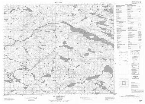
013A08 St Lewis Inlet Canada topo map, 1:50,000 scale
013A08 St Lewis Inlet NRCAN topographic map.
Includes UTM and GPS geographic coordinates (latitude and longitude). This 50k scale map is suitable for hiking, camping, and exploring, or you could frame it as a wall map.
Printed on-demand using high resolution, on heavy weight and acid free paper, or as an upgrade on a variety of synthetic materials.
Topos available on paper, Waterproof, Poly, or Tyvek. Usually shipping rolled, unless combined with other folded maps in one order.
- Product Number: NRCAN-013A08
- Parent Topo: TOPO-013A
- Map ID also known as: 013A08, 13A8, 13A08
- Unfolded Size: Approximately 26" high by 36" wide
- Weight (paper map): ca. 55 grams
- Map Type: POD NRCAN Topographic Map
- Map Scale: 1:50,000
- Geographical region: Newfoundland and Labrador, Canada
Neighboring Maps:
All neighboring Canadian topo maps are available for sale online at 1:50,000 scale.
Purchase the smaller scale map covering this area: Topo-013A
Spatial coverage:
Topo map sheet 013A08 St Lewis Inlet covers the following places:
- St. Lewis Inlet - Sandbanks - Black Fly Island - Lower Island - Upper Island - Wood Island - Big Pond - Curls Pond - Five Island Pond - Hatters Cove Pond - Hatters Cove Second Pond - Mangrove Big Pond - Mangrove Pond - Marys Harbour First Pond - Marys Harbour Second Pond - Middle Creek Pond - Northeast Pond - Riggs Pond - Rocky Pond - Sandy Creek Pond - Seven Island Pond - Southwest Ponds - Tom Thoms Pond - Upper Creek First Pond - Upper Creek Second Pond - Charlies Knob - Southwest Hill - The Pig - Wallmans Hill - White Nuggets - Beaver Brook - Big Blackwater - Colleroon River - Northeast Brook - Notleys Brook - St. Lewis River - St. Marys River - Wallmans


