
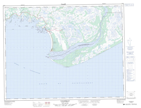
012K04 Natashquan Canada topo map, 1:50,000 scale
012K04 Natashquan NRCAN topographic map.
Includes UTM and GPS geographic coordinates (latitude and longitude). This 50k scale map is suitable for hiking, camping, and exploring, or you could frame it as a wall map.
Printed on-demand using high resolution, on heavy weight and acid free paper, or as an upgrade on a variety of synthetic materials.
Topos available on paper, Waterproof, Poly, or Tyvek. Usually shipping rolled, unless combined with other folded maps in one order.
- Product Number: NRCAN-012K04
- Parent Topo: TOPO-012K
- Map ID also known as: 012K04, 12K4, 12K04
- Unfolded Size: Approximately 26" high by 36" wide
- Weight (paper map): ca. 55 grams
- Map Type: POD NRCAN Topographic Map
- Map Scale: 1:50,000
- Geographical region: Quebec, Canada
Neighboring Maps:
All neighboring Canadian topo maps are available for sale online at 1:50,000 scale.
Purchase the smaller scale map covering this area: Topo-012K
Spatial coverage:
Topo map sheet 012K04 Natashquan covers the following places:
- Aéroport de Natashquan - Anse à John - Anse chez Polite - Anse du Jardin à Célestine - Anse du Ruisseau - Baie de Natashquan - Baie Landry - Baie Uahtauakau - Baie Westabonca - Barachois à Simon - Havre à Scott - Havre de Natashquan - Havre des Canadiens - La Grande Baie - La Prée - Le Duck - Le Foin à Adolphe - Le Foin à Désiré - Le Petit Havre - L'Échouerie - Barre Natashquan - Plage Mistanekau - Cap Blanc - Cap Tiennot - Le Gros Cap - Pointe au Sauvage - Pointe Collas - Pointe de la Grande Baie - Pointe de Natashquan - Pointe de Pierre - Pointe du Vieux Poste - Pointe Noire - Détroit de Jacques-Cartier - Le Grand Goulet - Le Petit Goulet - Le Rigolet - Chute Nih - Chute Nihu - Chute Uinipek - Chute Uinipeku - Aguanish - Duval - Kegaska - L'Immaculée-Conception - L'Immaculée-Conception - Natashquan - Natashquan Indian Reserve 1 - Réserve indienne Natashquan 1 - Caye à Ernest - Île à Cajeton - Île à Edgard - Île au Vieux Sapin - Île aux Américains - Île aux Goélands - Île Beacon - Île Boisée de l'Est - Île Boisée de l'Ouest - Île Brûlée - Île de Pierre - Île du Bouquet de Bois - Île du Phare - Île Joncas - Île Louis - Île Plate - Île Sainte-Hélène - Île Scott - Île Thériault - Îles Rouges - Îlet Shag - Le Cabochon - Rocher des Fous de Bassan - Rocher Ganner - Rocher Gannet - Rocher Noir - Rocher Sphinx Nord - Rocher Sphinx Sud - Lac Mistapukuahtshipek - Lac Taueunan - Lacs Kanekauakamat - Poste de Natashquan - Le Morne - Les Dunes - Mont Joli - Les Plaines - Rapide de l'Est - Rapide du Nord - Petite rivière Natashquan - Petite rivière Natashwuan - Rivière de la Grande Baie - Rivière de l'Étang - Rivière des Plaines - Rivière Longue - Rivière Natashquan - Rivière Rapide de la Grande Baie - Rivière Rapide des Plaines - Rivière Uahtauakau - Rivière Westabonka - Ruisseau à Pétote - Ruisseau Alexis - Ruisseau de la Trappe - Ruisseau du Havre des Canadiens - Ruisseau du Midi - Ruisseau du Moulin - Ruisseau du Quart - Ruisseau Kuahkuetshuahu - Ruisseau Uahtauakau - Banc Carbonneau - Banc Cod - Banc de Natashquan - Brisants Central - Brisants du Centre - Brisants Landry - Récifs Vigneault - Aguanus - Les Galets - Natashquan - Natashquan - Pointe-Parent - Aguanish - Natashquan


