
012J12 Lac Triquet Canada topo map, 1:50,000 scale
012J12 Lac Triquet NRCAN topographic map.
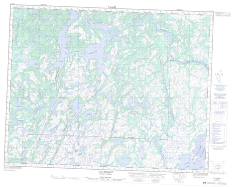
Includes UTM and GPS geographic coordinates (latitude and longitude). This 50k scale map is suitable for hiking, camping, and exploring, or you could frame it as a wall map.
Printed on-demand using high resolution, on heavy weight and acid free paper, or as an upgrade on a variety of synthetic materials.
Topos available on paper, Waterproof, Poly, or Tyvek. Usually shipping rolled, unless combined with other folded maps in one order.
- Product Number: NRCAN-012J12
- Parent Topo: TOPO-012J
- Map ID also known as: 012J12, 12J12
- Unfolded Size: Approximately 26" high by 36" wide
- Weight (paper map): ca. 55 grams
- Map Type: POD NRCAN Topographic Map
- Map Scale: 1:50,000
- Geographical region: Quebec, Canada
Neighboring Maps:
All neighboring Canadian topo maps are available for sale online at 1:50,000 scale.
Purchase the smaller scale map covering this area: Topo-012J
Spatial coverage:
Topo map sheet 012J12 Lac Triquet covers the following places:
- Golfe du Saint-Laurent - Pointe Kaniauakaht - Pointe Niapuskau - Baune - Bellecourt - Saint-Vincent - Île du Dimanche - Île du Sauvage - Îles Harrington - Lac Blanc - Lac Kahakauhumakaht - Lac Kaiakuakamat - Lac La Fontaine - Lac Namehat Kakutepapinaniht - Lac Riverin - Lac Triquet - Lac Uapuh Kiauhin - Lac Uhatshistsh - LacKanekauakamat - Lacs Uhatshimihukup - Rivière Darby - Rivière du Petit Mécatina - Rivière Étamamiou - Rivière Nétagamiou


