
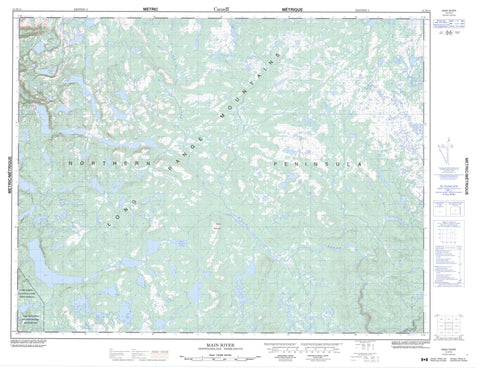
012H14 Main River Canada topo map, 1:50,000 scale
012H14 Main River NRCAN topographic map.
Includes UTM and GPS geographic coordinates (latitude and longitude). This 50k scale map is suitable for hiking, camping, and exploring, or you could frame it as a wall map.
Printed on-demand using high resolution, on heavy weight and acid free paper, or as an upgrade on a variety of synthetic materials.
Topos available on paper, Waterproof, Poly, or Tyvek. Usually shipping rolled, unless combined with other folded maps in one order.
- Product Number: NRCAN-012H14
- Parent Topo: TOPO-012H
- Map ID also known as: 012H14, 12H14
- Unfolded Size: Approximately 26" high by 36" wide
- Weight (paper map): ca. 55 grams
- Map Type: POD NRCAN Topographic Map
- Map Scale: 1:50,000
- Geographical region: Newfoundland and Labrador, Canada
Neighboring Maps:
All neighboring Canadian topo maps are available for sale online at 1:50,000 scale.
Purchase the smaller scale map covering this area: Topo-012H
Spatial coverage:
Topo map sheet 012H14 Main River covers the following places:
- Northern Peninsula - Bean Pond - Beaver Lake - Big Pond - Big Steady - Brians Pond - Burseys Pond - Caribou Lake - Charlies Dam Pond - Dawson Lake - Eagle Mountain Pond - Four Ponds - Fox Ears Pond - Goose Meshes - High Pond - Island Pond - Leander Lake - Little Steady - Long Pond - Loon Pond - Sock Pond - St. Pauls Big Pond - Trophy Lake - Woody Lake - Eagle Mountain - Long Hill - Long Range Mountains - Gros Morne National Park of Canada - Gros Morne National Park World Heritage Site - Main River Waterway Provincial Park - Parc national du Canada du Gros-Morne - Site du patrimoine mondial du Parc national du Gros-Morne - Beaver Brook - Big Brook - Eastern Brook - Lens Brook - Main River - Parsons Pond River - Woodpecker Brook


