
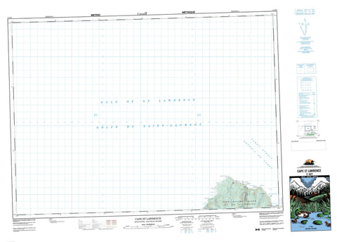
011N02 Cape St Lawrence Canada topo map, 1:50,000 scale
011N02 Cape St Lawrence NRCAN topographic map.
Includes UTM and GPS geographic coordinates (latitude and longitude). This 50k scale map is suitable for hiking, camping, and exploring, or you could frame it as a wall map.
Printed on-demand using high resolution, on heavy weight and acid free paper, or as an upgrade on a variety of synthetic materials.
Topos available on paper, Waterproof, Poly, or Tyvek. Usually shipping rolled, unless combined with other folded maps in one order.
- Product Number: NRCAN-011N02
- Parent Topo: TOPO-011N
- Map ID also known as: 011N02, 11N2, 11N02
- Unfolded Size: Approximately 26" high by 36" wide
- Weight (paper map): ca. 55 grams
- Map Type: POD NRCAN Topographic Map
- Map Scale: 1:50,000
- Geographical region: Nova Scotia, Canada
Neighboring Maps:
All neighboring Canadian topo maps are available for sale online at 1:50,000 scale.
Purchase the smaller scale map covering this area: Topo-011N
Spatial coverage:
Topo map sheet 011N02 Cape St Lawrence covers the following places:
- Bay St. Lawrence - Fox Den - Golfe du Saint-Laurent - Gulf of St. Lawrence - Lowland Cove - Meat Cove - Sailor Cove - St. Lawrence Bay - Wreck Cove - Fraser Beach - Frasers Beach - Black Point - Blackrock - Blackrock Point - Cape St. Lawrence - Grassy Point - Little Grassy Point - Lowland Point - Pats Point - Rhu Pillinn - Tittle Point - Cabot Strait - Cabot Strait - Détroit de Cabot - Détroit de Cabot - Inverness - Juste au Corps - Victoria - Cape Breton Island - Île du Cap-Breton - Big Pond - Bear Hill - Inverness - Victoria - Black Brook - Black Point Brook - Edwards Brook - French Brook - Jumping Brook - Lowland Brook - Lowland Brook - Meat Cove Brook - Pine Brook - Sailor Brook - Wreck Cove Brook - Black Rock - Shag Rock - Black Point - Capstick - Meat Cove


