
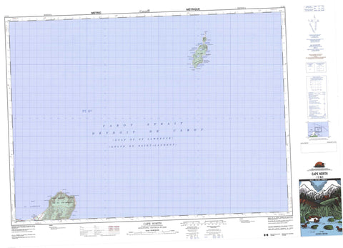
011N01 Cape North Canada topo map, 1:50,000 scale
011N01 Cape North NRCAN topographic map.
Includes UTM and GPS geographic coordinates (latitude and longitude). This 50k scale map is suitable for hiking, camping, and exploring, or you could frame it as a wall map.
Printed on-demand using high resolution, on heavy weight and acid free paper, or as an upgrade on a variety of synthetic materials.
Topos available on paper, Waterproof, Poly, or Tyvek. Usually shipping rolled, unless combined with other folded maps in one order.
- Product Number: NRCAN-011N01
- Parent Topo: TOPO-011N
- Map ID also known as: 011N01, 11N1, 11N01
- Unfolded Size: Approximately 26" high by 36" wide
- Weight (paper map): ca. 55 grams
- Map Type: POD NRCAN Topographic Map
- Map Scale: 1:50,000
- Geographical region: Nova Scotia, Canada
Neighboring Maps:
All neighboring Canadian topo maps are available for sale online at 1:50,000 scale.
Purchase the smaller scale map covering this area: Topo-011N
Spatial coverage:
Topo map sheet 011N01 Cape North covers the following places:
- Aspy Bay - Atlantic Cove - Bay St. Lawrence - Crogan Cove - Factory Cove - Goat Rock Cove - Golfe du Saint-Laurent - Gulf of St. Lawrence - Hay Cove - Jessie Cove - Jessies Cove - Little Harbour - MacDougall Cove - McLeods Cove - North Martin Powers Cove - Petries Cove - Powers Cove - South Martin Powers Cove - St. Lawrence Bay - Trinity Cove - Viceroy Cove - Big Goat Rock - Big Head - Cape North - Little Goat Rock - Lookout Point - Mica Head - Money Point - Moon Point - North Point - Northeast Point - Norwegian Head - Peters Point - Petries Point - Salmon Point - Shag Roost - South Point - Southwest Point - West Point - Whistle Point - White Rock - Cabot Strait - Cabot Strait - Détroit de Cabot - Détroit de Cabot - The Tickle - Victoria - Cape Breton Island - Île du Cap-Breton - St. Paul Island - Deadmans Pond - Ethel Lake - Lena Lake - McDougall Pond - Peters Pond - Petries Pond - Crogan Mountain - Martin Powers Mountain - Mount Groggan - Norwegian Mountain - Victoria - Gulch Brook - Salmon River - Anchor Rock - Bartar Rocks - Big Dick Rock - Little Dick Rock - Money Rocks - Northeast Bank - Northwest Bank - Paddy Rock - Roarer Rocks - Sacrifice Rocks - Shag Rock - Bay St. Lawrence


