
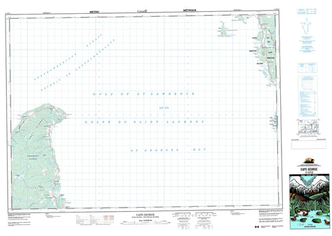
011F13 Cape George Canada topo map, 1:50,000 scale
011F13 Cape George NRCAN topographic map.
Includes UTM and GPS geographic coordinates (latitude and longitude). This 50k scale map is suitable for hiking, camping, and exploring, or you could frame it as a wall map.
Printed on-demand using high resolution, on heavy weight and acid free paper, or as an upgrade on a variety of synthetic materials.
Topos available on paper, Waterproof, Poly, or Tyvek. Usually shipping rolled, unless combined with other folded maps in one order.
- Product Number: NRCAN-011F13
- Parent Topo: TOPO-011F
- Map ID also known as: 011F13, 11F13
- Unfolded Size: Approximately 26" high by 36" wide
- Weight (paper map): ca. 55 grams
- Map Type: POD NRCAN Topographic Map
- Map Scale: 1:50,000
- Geographical region: Nova Scotia, Canada
Neighboring Maps:
All neighboring Canadian topo maps are available for sale online at 1:50,000 scale.
Purchase the smaller scale map covering this area: Topo-011F
Spatial coverage:
Topo map sheet 011F13 Cape George covers the following places:
- Angus MacDonalds Cove - Ballantynes Cove - Bans Cove - Baxters Cove - Big Rorys Cove - French Cove - George Bay - Georges Bay - Golfe du Saint-Laurent - Gulf of St. Lawrence - Little Judique Harbour - Livingstone Cove - Pigs Cove - Port Hood - St. Georges Bay - Walker Cove - Cribbons Beach - MacDonalds Beach - Parks Beach - Big Rorys Point - Campbell Point - Cape George - Cape George Point - Cape Susan - Crebbing Head - Cribbean Head - Cribbens Point - Cribbons Point - Domhnull Ruadhs Head - Eachren Point - Emersion Point - Emerson Point - Fishery Point - Graham Point - Greens Point - Henry Point - Justaucorps Point - Kate Point - Katies Point - Livingstone Point - MacEachern Point - Mackay Point - MacNeil Point - McKays Point - North Point - Parks Point - Portsmouth Point - Ragged Point - Seonaids Point - Shipping Point - Spithead - Détroit de Northumberland - Northumberland Strait - Antigonish - Sydney - Cape Breton Island - Henry Island - Île du Cap-Breton - Port Hood Island - Allan Iains Pond - Big Loch - Catharine Pond - Gillis Pond - Little Lake - Livingstones Pond - McKays Pond - North Lake - South Lake - Graham Hill - Antigonish - Inverness - Ballantynes Brook - Browns Brook - Campbells Brook - Cape George Brook - Captains Brook - Cove Brook - Cove Brook - Gillis Brook - Graham River - Heffernans Brook - Heffernan's Brook - Horseshoe Turn Brook - Little Judique Brook - Livingstone Brook - Loch Brook - MacDonald Brook - MacDonalds Brook - MacEachern Brook - MacGillivrays Brook - MacInnis Brook - McDonald Brook - McDonald Brook - McEachern Brook - McGillivray Brook - McGillivray's Brook - McInnis Brook - Morar Brook - North Lake Stream - Orton Brook - Pooles Brook - Pool's Brook - Rory Brook - School Brook - Skidmore Brook - Wallace Brook - Dean Shoal - Henry Island Bank - Judique Bank - Judique Shoals - Pomquet Banks - Back Settlement - Ballantynes Cove - Cape George - Cape George Point - Dunmore - Harbourview - Lakevale - Little Judique Ponds - Livingstone Cove - Maryville - Morar - North Lakevale - Port Hood Mines - Rear Georgeville - West Lakevale - Heffernans Marsh


