
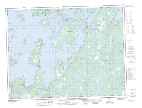
002E07 Comfort Cove Newstead Canada topo map, 1:50,000 scale
002E07 Comfort Cove Newstead NRCAN topographic map.
Includes UTM and GPS geographic coordinates (latitude and longitude). This 50k scale map is suitable for hiking, camping, and exploring, or you could frame it as a wall map.
Printed on-demand using high resolution, on heavy weight and acid free paper, or as an upgrade on a variety of synthetic materials.
Topos available on paper, Waterproof, Poly, or Tyvek. Usually shipping rolled, unless combined with other folded maps in one order.
- Product Number: NRCAN-002E07
- Parent Topo: TOPO-002E
- Map ID also known as: 002E07, 02E7, 2E7, 02E07, 2E07
- Unfolded Size: Approximately 26" high by 36" wide
- Weight (paper map): ca. 55 grams
- Map Type: POD NRCAN Topographic Map
- Map Scale: 1:50,000
- Geographical region: Newfoundland and Labrador, Canada
Neighboring Maps:
All neighboring Canadian topo maps are available for sale online at 1:50,000 scale.
Purchase the smaller scale map covering this area: Topo-002E
Spatial coverage:
Topo map sheet 002E07 Comfort Cove Newstead covers the following places:
- Bay of Exploits - Birchy Bay - Burnt Bay - Chapel Cove - Comfort Cove - Dog Bay - Eastern Harbour - Emily Cove - Horwood Bay - Indian Arm - Intricate Harbour - Loon Bay - Loon Harbour - Michael's Harbour - Newstead Harbour - South Harbour - St. Michael's Harbour - Summerford Arm - Village Cove - Western Harbour - Western Harbour - Chapel Head - Comfort Head - Farmer Head - Indian Head - Long Point - Long Point - Long Point - Net Cove Head - Reddetts Head - South Head - Birchy Island Tickle - Camel Passage - Samson Tickle - Shag Cliff - Berry Island - Birchy Island - Buchan Island - Camel Island - Chapel Island - Cinder Island - Coal All Island - Coffin Island - Comfort Island - Cone Island - Cranberry Island - Cranpot Island - Duck Island - Duck Island - Farmers Island - Gleed Island - Green Island - Gull Island - Hornet Island - Indian Islands - Inspector Island - Jock Islands - Knights Island - North Samson Island - Passage Island - Pine Island - Pyke Island - Rudder Island - Scrub Island - Shag Cliff Islands - Sivier Island - South Samson Island - Squire Island - Steering Island - The Sugar Loaf - Tinker Island - Tinker Island - Transit Island - Whortleberry Island - Yellow Fox Island - Burnt Lake - Dildo Pond - Duder Lake - First Pond - Long Pond - Rocky Pond - Second Pond - Ten Mile Lake - Dog Bay Pond Provincial Park - Indian Cove Neck Provincial Park - Indian Arm Brook - Joshuas Brook - Jumper Brook - The Reach - Curtis Causeway - Chisholm Bank - Mussel Bed Rocks - Surprise Shoals - Three Mile Rock - Baytona - Birchy Bay - Campbellton - Comfort Cove-Newstead - Cottlesville - Summerford - Birchy Bay North - Boyd's Cove - Clarke's Head - Cottle's Island-Luke's Arm - Gander Bay North - Gay Side - Horwood - Horwood North - Loon Bay - Michael's Harbour - Newstead - North Samson Island - Rodger Cove - Rodgers Cove - Samson Island - Samson's Island - St. Michael's Harbour - Stoneville - Strong's Island - Comfort Cove - Gayside


