
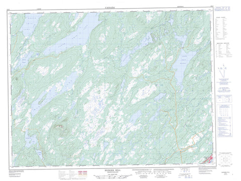
002E04 Hodges Hill Canada topo map, 1:50,000 scale
002E04 Hodges Hill NRCAN topographic map.
Includes UTM and GPS geographic coordinates (latitude and longitude). This 50k scale map is suitable for hiking, camping, and exploring, or you could frame it as a wall map.
Printed on-demand using high resolution, on heavy weight and acid free paper, or as an upgrade on a variety of synthetic materials.
Topos available on paper, Waterproof, Poly, or Tyvek. Usually shipping rolled, unless combined with other folded maps in one order.
- Product Number: NRCAN-002E04
- Parent Topo: TOPO-002E
- Map ID also known as: 002E04, 02E4, 2E4, 02E04, 2E04
- Unfolded Size: Approximately 26" high by 36" wide
- Weight (paper map): ca. 55 grams
- Map Type: POD NRCAN Topographic Map
- Map Scale: 1:50,000
- Geographical region: Newfoundland and Labrador, Canada
Neighboring Maps:
All neighboring Canadian topo maps are available for sale online at 1:50,000 scale.
Purchase the smaller scale map covering this area: Topo-002E
Spatial coverage:
Topo map sheet 002E04 Hodges Hill covers the following places:
- Greenspond Harbour - Puffin Island Tickle - Aspen Pond - Barrens Pond - Boyd's Pond - Cornfield Pond - Frozen Ocean Lake - Goose Lake - Mary Ann Lake - Middleton Lake - Monica Lake - Moose Pond - New Bay Pond - North Twin Lake - Peace Pond - Rocky Pond - South Twin Lake - Trouble Pond - Bob's Hill - Hodges Hill - Newfoundland T'Railway Provincial Park - Exploits River - Leech Brook - Monica Brook - New Bay River - North Twin Brook - Northern Arm Brook - Peters River - Thunder Brook - West Arm Brook - Bishop's Falls - Wooddale


