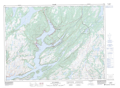
001M13 St Alban s Canada topo map, 1:50,000 scale
001M13 St Alban s NRCAN topographic map.
Includes UTM and GPS geographic coordinates (latitude and longitude). This 50k scale map is suitable for hiking, camping, and exploring, or you could frame it as a wall map.
Printed on-demand using high resolution, on heavy weight and acid free paper, or as an upgrade on a variety of synthetic materials.
Topos available on paper, Waterproof, Poly, or Tyvek. Usually shipping rolled, unless combined with other folded maps in one order.
- Product Number: NRCAN-001M13
- Parent Topo: TOPO-001M
- Map ID also known as: 001M13, 01M13, 1M13
- Unfolded Size: Approximately 26" high by 36" wide
- Weight (paper map): ca. 55 grams
- Map Type: POD NRCAN Topographic Map
- Map Scale: 1:50,000
- Geographical region: Newfoundland and Labrador, Canada
Neighboring Maps:
All neighboring Canadian topo maps are available for sale online at 1:50,000 scale.
Purchase the smaller scale map covering this area: Topo-001M
Spatial coverage:
Topo map sheet 001M13 St Alban s covers the following places:
- Arran Back Cove - Arran Cove - Bay d'Espoir - Black Duck Cove - Black Duck Cove - Black Duck Hole - Bobbett Cove - Brant Cove - Burying Ground Cove - Carnell Cove - Clarke Cove - Clay Hole - Cock and Hen Cove - Cribb Cove - Dwyer Hole - Flobber Cove - Foley Cove - Frenchman Cove - Genge Cove - Goodwin Cove - Green Point Cove - Gull Cove - Hardy Cove - Harrison Cove - Hunter Cove - Ingram Cove - Jack Damp Cove - Jersey Cove - Jim Macdonald Cove - Lee Cove - Linen Cove - Little Looe Cove - Little Muddy Hole - Lobster Cove - Looe Cove - Lynch Cove - Man of War Cove - Margery Cove - Mooring Cove - Morgan Arm - Muddy Hole - Northwest Cove - Nut Cove - Pardy Head Cove - Roti Bay - Ship Cove - Shoal Cove - Southeast Cove - Southwest Cove - Stickland Cove - Swanger Cove - The Barasway - Vyse Cove - Bald Head - Birchy Point - Brant Head - Chalker Point - Clarke Head - Cluett Head - Collins Head - Conne Head - Crow Head - Dave Woolcott Point - Dawson Point - Dawson Point - Deepwater Point - Diamond Point - Eads Point - Frenchman Head - Gaze Point - Gooseberry Point - Green Point - Harrison Point - Hunter Point - Indian Point - Ingram Point - Island Point - Jersey Point - Little Crow Head - Little Pardy Head - Long Point - Man of War Head - Margery Head - Pagenal Head - Pardy Head - Peyton Point - Reuben Point - Roti Point - Sandy Point - Shoal Cove Head - Snooks Point - Tickle Head - Winging Head - Dawson Passage - Lampidoes Passage - Samiajij Miawpukek - Barasway Island - Bois Island - Flobber Cove Island - Gooseberry Island - Pullett Island - Riches Island - Shellbird Island - Weasel Island - Barasway de Cerf - Beaver Pond - Big Barasway - Big Jersey Pond - Cock and Hen Cove Pond - First Pond - Fourth Pond - Jeddore Lake - Juniper Cove Pond - Little Barasway - Little Jersey Pond - Long Pond - Loo Pond - Mill Pond - Peter Poor Pond - Rattling Brook Pond - Riche Lake - River Pond - Rocky Pond - Roti Bay Pond - Second Pond - Simmonds Barasway - Soulis Pond - String of Ponds - The Gullies - The Southeast - Third Pond - Trout Pond - Western Pond - Woody Hill Pond - Brown Ridge - Line Hill - Witch Hazel Hill - Jipujijkuei Kuespem (Little River Pond) Provincial Park - Jipujijkuei Kuespem Provincial Park - Big Rattling Brook - Black Brook - Conne River - Little River - Mast Gulch - Northwest Brook - Salmon River - Salmon River - Southeast Brook - Southwest Brook - Whiskey Brook - Steady Path - Seal Rocks - Milltown-Head of Bay D'Espoir - Morrisville - St. Alban's - Camp Boggy - Conne River - Head Bay D'Espoir - Head of Bay D'Espoir - Milltown - St. Joseph's Cove - St. Joseph's Cove-St. Veronica's - St. Veronica's - Swanger Cove - The Gulch - Deers Home


