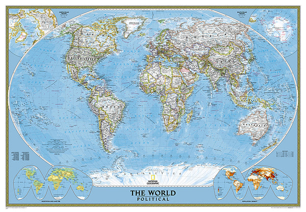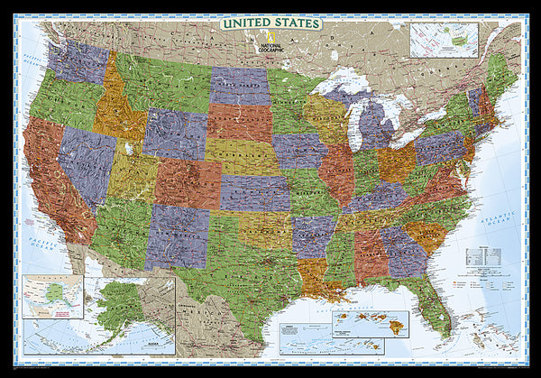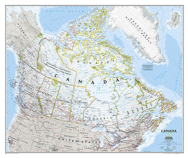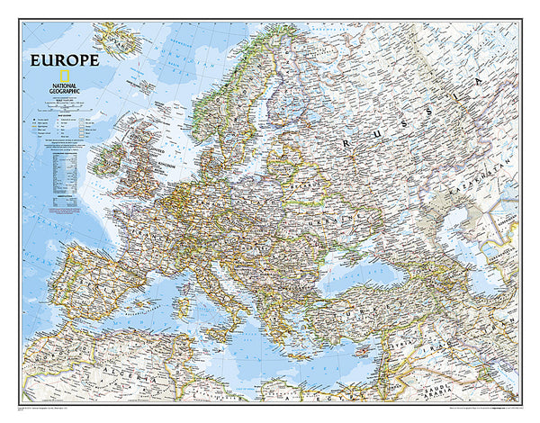
World, Political by Maps International Ltd.
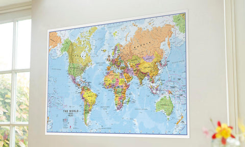
This updated 2014 giant world map from Maps International is perfect for the home, office, or classroom. Politically coloured world wall map features every country as a different colour. All major towns and cities are featured on our huge map and capital cities are clearly marked. Hill and sea shading add to the vibrant overall effect in this huge political world wall map. Latitude, longitude, and ocean bathymetry are all indicated on this Van der Grinten projection
- Product Number: 2172637M
- Product Code: MI_WOR20_WA
- ISBN: 9781903030103
- Year of Publication: 2014
- Unfolded Size: 77.5 x 45.75 inches
- Map type: Wall Map
- Geographical region: World

