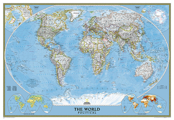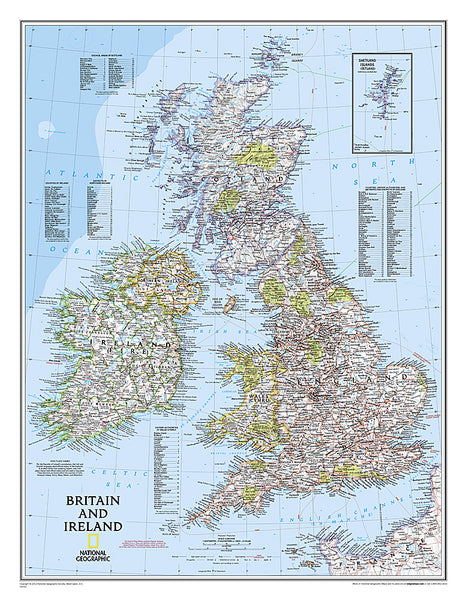
Europe, Classic, Tubed by National Geographic Maps
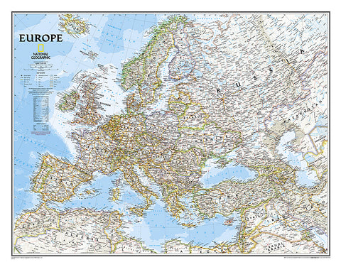
National Geographics Classic political map of Europe features clearly defined international boundaries, thousands of place names, waterbodies, airports, major highways and roads, national parks, and much more. The tasteful color palette, shaded relief, and coastal bathymetry make this map as attractive as it is functional. The countries and major cities shown include: Albania, Armenia, Austria, Azerbaijan, Belarus, Belgium, Bosnia & Herzegovina, Bulgaria, Croatia, Cyprus, Czech Republic, Denmark, Estonia, Finland, France, Georgia, Germany, Greece, Hungary, Iceland, Ireland, Italy, Kosovo, Latvia, Liechtenstein, Lithuania, Luxembourg, Macedonia, Moldova, Montenegro, The Netherlands, Norway, Poland, Portugal, Romania, Russia, Serbia, Slovakia, Slovenia, Spain, Sweden, Switzerland, Turkey, Ukraine, and the United Kingdom.
The map is packaged in a 2-diameter clear plastic tube. The tube has a decorative label showing a thumbnail of the map with dimensions and other pertinent information.
- Product Number: 2030814M
- Product Code: NG_EUR_WA
- Publisher Product ID: RE0620070T
- ISBN: 9780792281115
- Year of Publication: 2011
- Unfolded Size: 20.87 x 26.77 inches
- Map type: Wall Map
- Geographical region: Europe