Britian and Ireland, tubed by National Geographic Maps
Click to Zoom (high resolution)
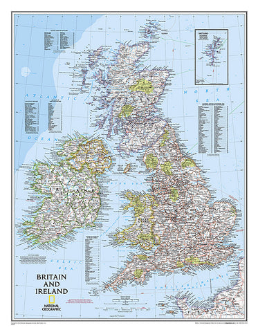
National Geographics classic political map of Britain and Ireland shows country boundaries, thousands of place names, major highways and roads, airports, bodies of water, and more.
Map is printed on premium quality paper stock, rolled, and packaged in a clear, hard plastic tube.
Flat Size mm: 762 x 584
Scale: 1:1,687,000
- Product Number: 2030822M
- Product Code: NG_GB_IRE_WA
- Publisher Product ID: RE0602022T
- ISBN: 9780792249559
- Year of Publication: 2009
- Unfolded Size: 27.17 x 20.08 inches
- Map type: Wall Map
- Geographical region: Ireland