
~ Acord Lakes UT topo map, 1:24000 scale, 7.5 X 7.5 Minute, Current, 2014
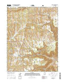
Acord Lakes, Utah, USGS topographic map dated 2014.
Includes geographic coordinates (latitude and longitude). This topographic map is suitable for hiking, camping, and exploring, or framing it as a wall map.
Printed on-demand using high resolution imagery, on heavy weight and acid free paper, or alternatively on a variety of synthetic materials.
Topos available on paper, Waterproof, Poly, or Tyvek. Usually shipping rolled, unless combined with other folded maps in one order.
- Product Number: USGS-7785061
- Free digital map download (high-resolution, GeoPDF): Acord Lakes, Utah (file size: 34 MB)
- Map Size: please refer to the dimensions of the GeoPDF map above
- Weight (paper map): ca. 55 grams
- Map Type: POD USGS Topographic Map
- Map Series: US Topo
- Map Verison: Current
- Cell ID: 69124
- Datum: North American Datum of 1983
- Map Projection: Transverse Mercator
- Map Cell Name: Acord Lakes
- Grid size: 7.5 X 7.5 Minute
- Date on map: 2014
- Map Scale: 1:24000
- Geographical region: Utah, United States
Neighboring Maps:
All neighboring USGS topo maps are available for sale online at a variety of scales.
Spatial coverage:
Topo map Acord Lakes, Utah, covers the geographical area associated the following places:
- North Water Hollow - Acord Lakes - Upper Horse Hollow Spring - Pin Hollow - Jolly Mill Hollow - Duncan Draw - Horse Hollow - Big Ridge - Jolly Mill Point - South Water Hollow - Snow Corral Ridge - Skutumpah Reservoir - Mud Spring Hollow - Collier Hollow - Anderson Spring - Road Hollow - Lunds Cabin (historical) - Fairy Spring - Lizonbee Springs - Duncan Mountain - Duncan Draw Spring - Corral Knoll - Jack Adley Monument - Lower Horse Hollow Spring - East Spring Canyon - Skutumpah Dam - Broad Hollow - Convulsion Canyon - South Fork North Fork Quitchupah Creek - Water Hollow - Little Duncan Mountain - Eldridge Hollow - Lizonbee Administrative Site - Convulsion Coal Mine - The Cove - Skutumpah Spring - Mud Spring
- Map Area ID: AREA3938.875-111.5-111.375
- Northwest corner Lat/Long code: USGSNW39-111.5
- Northeast corner Lat/Long code: USGSNE39-111.375
- Southwest corner Lat/Long code: USGSSW38.875-111.5
- Southeast corner Lat/Long code: USGSSE38.875-111.375
- Northern map edge Latitude: 39
- Southern map edge Latitude: 38.875
- Western map edge Longitude: -111.5
- Eastern map edge Longitude: -111.375


