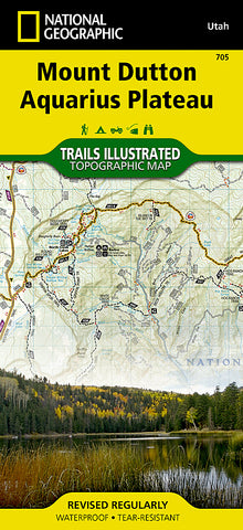
Bryce and Mount Dutton, Utah by National Geographic Maps
Click to Zoom (high resolution)
• Waterproof • Tear-Resistant • Topographic Map
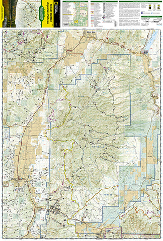
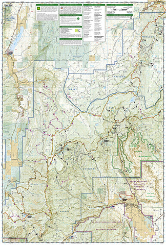
Coverage includes Dixie National Forest. Bryce Canyon National Park; Paunsaugunt Plateau; Red Canyon, Sunset and Pink Cliffs, Johns Valley, Casto Canyon, Swallow Park Ranch, Sevier Plateau and Pole Canyon; Tropic Reservoir, Cottonwood Creek and Sevier Creek.
Map Scale = 1:50,000
Sheet Size = 25 x 37
Folded Size = 4.25 x 9.25
- Product Number: 2060029M
- Product Code: TI_UT_DUTTON
- Publisher Product ID: TI00000705
- ISBN: 9781566954150
- Year of Publication: 2016
- Folded Size: 9.45 x 4.33 inches
- Unfolded Size: 36.22 x 20.47 inches
- Map type: Folded Map
- Geographical region: Utah