
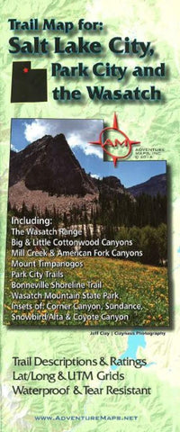
Salt Lake City, Park City, and the Wasatch, Trail Map by Adventure Maps
The Salt Lake City, Park City, and the Wasatch Adventure Map is a waterproof, topographic map (lat/long,UTM grids) that includes route descriptions throughout trails the Wasatch Range including, Mill Creek Canyon, Big & Little Cottonwood Canyons, American Fork Canyon, Mount Timpanogos, Park City, Bonneville Shoreline Trail, Wasatch Mountain State Park. The map includes 25 of the best mountain bike rides and 32 hike suggestions for the area. The map also includes blowups of Corner Canyon, Snowbird/Alta, Sundance and an inset of the Coyote Canyon trails in Heber City.
- Product Number: 2227322M
- Product Code: ADV_SALT_PK_WAS
- ISBN: 9781933783130
- Year of Publication: 2014
- Folded Size: 9.84 x 3.94 inches
- Unfolded Size: 36.42 x 26.57 inches
- Map type: Folded Map
- Geographical region: Utah


