
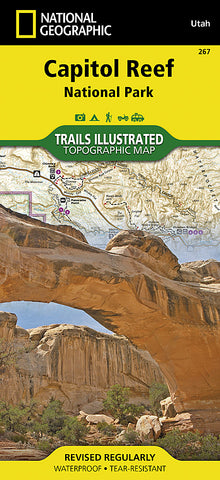


Capitol Reef National Park, Map 267 by National Geographic Maps
• Waterproof • Tear-Resistant • Topographic Map
Capitol Reef National Park is a hidden gem located in the Waterpocket Fold, a wrinkle in the earth that extends nearly 100 miles through south-central Utahs red rock country. National Geographics Trails Illustrated map of Capitol Reef provides unmatched detail of the park to meet the needs of amateur and experienced outdoor enthusiasts alike. Created in partnership with local land management agencies, this expertly researched map features the entire park as well as adjacent areas of interest including Anasazi State Park and portions of Fishlake National Forest, Grand Staircase-Escalante National Monument, and Dixie National Forest.
This map can guide you off the beaten path and back again with miles of mapped trails including a portion of the Great Western Trail, and recommended equestrian and bike routes. Trails are marked with mileage between intersections. A summary chart of fifteen Fruita day hiking routes, contact info, safety tips, and information about road tours, geology of the park, and recreation activities are included to help guide you in enjoying all the park has to offer. Some of the noted recreation features include scenic viewpoints, trailheads, campgrounds, and equestrian staging areas. The map base includes contour lines and elevations for summits.
Every Trails Illustrated map is printed on Backcountry Tough waterproof, tear-resistant paper. A full UTM grid is printed on the map to aid with GPS navigation.
Other features found on this map include: Capitol Reef National Park, Circle Cliffs, Dixie National Forest, Fishlake National Forest, Glen Canyon National Recreation Area, Henry Mountains, Miners Mountain, Mount Pennell, South Desert, and Waterpocket Fold.
- Product Number: 2060111M
- Product Code: TI_CAPITOL_REEF
- Publisher Product ID: TI00000267
- ISBN: 9781566956703
- Year of Publication: 2013
- Folded Size: 9.45 x 4.330 inches
- Unfolded Size: 37.01 x 24.8 inches
- Map type: Folded Map
- Geographical region: Utah


