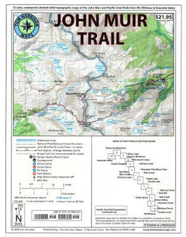
John Muir Trail Map-pack
15 color, waterproof, shaded-relief topographic maps of the John Muir Trail and Pacific Crest Trail from Mount Whitney to Yosemite Valley.
Includes: Whitney Portal, Symmes Creek, Onion Valley, Oak Creek, Taboose Creek, North and South Lakes, Vermilion, Bear Creek, Florence Lake, Pine Creek, Mono Pass, McGee Creek, Devils Postpile, Mammoth Lakes, Agnew Meadows, Silver Lake, Tuolumne Meadows, and finally the Yosemite Valley. GPS-compatible with complete UTM grid.
-Scale 1:63,360
-80 ft. contours
- Product Number: TH_JOHN_MUIR_19
- Reference Product Number: 2333710M
- ISBN: 9781877689345
- Date of Publication: 6/1/2019
- Folded Size: 11 inches high by 9 inches wide
- Unfolded (flat) Size: 10.5 inches high by 8 inches wide
- Map format: Folded
- Map type: Trade Maps - Hiking
- Geographical region: United States
- Geographical subregion: California