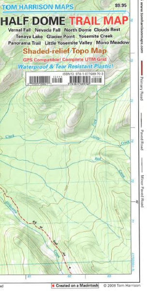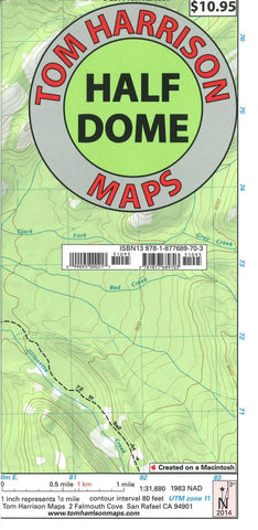
Half Dome Topographic Hiking Map
The Half Dome Trail map in Yosemite National park covers the area between Tenaya Lake and Glacier Point road, centered on the Half Dome. Map is at a scale 1:31,680, durable waterproof plastic. Printed on one side.
80ft. contours shown.
- Product Number: TH_HALF_DOME_14
- Reference Product Number: 2257387M
- ISBN: 9781877689703
- Date of Publication: 6/1/2014
- Folded Size: 9.06 inches high by 4.33 inches wide
- Unfolded (flat) Size: 16.54 inches high by 25.2 inches wide
- Map format: Folded
- Map type: Trade Maps - Hiking
- Geographical region: United States
- Geographical subregion: California