
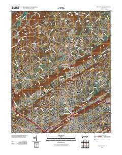
~ Fountain City TN topo map, 1:24000 scale, 7.5 X 7.5 Minute, Historical, 2010
Fountain City, Tennessee, USGS topographic map dated 2010.
Includes geographic coordinates (latitude and longitude). This topographic map is suitable for hiking, camping, and exploring, or framing it as a wall map.
Printed on-demand using high resolution imagery, on heavy weight and acid free paper, or alternatively on a variety of synthetic materials.
Topos available on paper, Waterproof, Poly, or Tyvek. Usually shipping rolled, unless combined with other folded maps in one order.
- Product Number: USGS-5153094
- Free digital map download (high-resolution, GeoPDF): Fountain City, Tennessee (file size: 28 MB)
- Map Size: please refer to the dimensions of the GeoPDF map above
- Weight (paper map): ca. 55 grams
- Map Type: POD USGS Topographic Map
- Map Series: US Topo
- Map Verison: Historical
- Cell ID: 16099
- Datum: North American Datum of 1983
- Map Projection: Transverse Mercator
- Map Cell Name: Fountain City
- Grid size: 7.5 X 7.5 Minute
- Date on map: 2010
- Map Scale: 1:24000
- Geographical region: Tennessee, United States
Neighboring Maps:
All neighboring USGS topo maps are available for sale online at a variety of scales.
Spatial coverage:
Topo map Fountain City, Tennessee, covers the geographical area associated the following places:
- Highland Park - Harrill Hills - Oak Grove - Oak Park - Mynatt - Pinewood Trailer Park - Cedar Grove - North Knoxville - Villa Gardens - Dogwood Mobile Home Park - Halls And Powell Mobile Home Park - Norwood - Cedar Flats - Dante - Inskip - Homestead - Mill Run - Bonta Vista Estates - Black Oak - Timber Line Estates - Hallbrook - Pedigo - Beverly Acres - Dry Gap - Halls Crossroads - Freeway - Fountaincrest - Beverly - Mapleview - Buffat Heights - Cedar Crest North - Tillery Drive Mobile Home Park - Temple Acres - Halls - Still Brook - Fountain City - Fults Trailer Park - Emory Estates - Oakland - Highland View - North Hills - Northridge Estates - Whispering Hills - Huntingdon Place - Cedarchase - Rifle Range Estates - Shannondale - Plantation Hills - Northbrook - Preston (historical) - Greenwood Forest - Whittle Springs - Greenway - Briarwood Estates - Fieldview - Murphy Hills - Smithwood - Corinth - Arlington - Blueberry Hills
- Map Area ID: AREA36.12536-84-83.875
- Northwest corner Lat/Long code: USGSNW36.125-84
- Northeast corner Lat/Long code: USGSNE36.125-83.875
- Southwest corner Lat/Long code: USGSSW36-84
- Southeast corner Lat/Long code: USGSSE36-83.875
- Northern map edge Latitude: 36.125
- Southern map edge Latitude: 36
- Western map edge Longitude: -84
- Eastern map edge Longitude: -83.875


