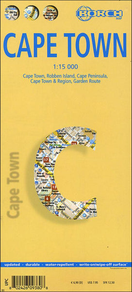
Cape Town : Cape Town, Robben Island, Cape Peninsula, Cape Town & Region, Garden Route
Laminated, waterproof map combining a plan of Cape Town with maps of the Peninsula, the Cape Winelands region and the Garden Route, plus plenty of tourist information, including 30 recommended best sites. The street plan of the city itself extends south to the Upper Cableway Station in the Cape Peninsula National Park and the university campus. The plan highlights places of interest and selected hotels, and indicates one way streets, car parks, recreational facilities, main public buildings, etc.
Four more maps of the Robben Island (1:40,000), the Cape Peninsula (1:140,000), the wider region accessible as day trips from the city including the Winelands and the Sixteen Mile Beach (1:635,000), and the Garden Route to Port Elizabeth (1:3,000,000) highlight more places of interest, including national parks and reserves, scuba diving and windsurfing sites, campsites, etc. Both the main street plan and the road maps have indexes listing streets/localities, main public buildings, plac
- Product Number: BOR_CAPE_18
- Reference Product Number: 2260850M
- ISBN: 9783866093805
- Date of Publication: 6/1/2018
- Folded Size: 9.45 inches high by 4.33 inches wide
- Unfolded (flat) Size: 19.69 inches high by 25.98 inches wide
- Map format: Folded
- Map type: Trade Maps - City Maps
- Geographical region: South Africa