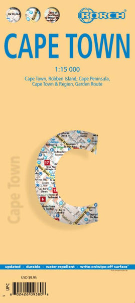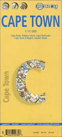
Cape Town, South Africa by Borch GmbH.
This soft-laminated folded map of Cape Town shows: Cape Town 1:15 000, Cape Peninsula 1:140 000, Cape Town and Region 1:635 000, Garden Route 1:3 000 000, Robben Island 1:40 000, South Africa administrative & time zones, Public Transport Cape Town. Borch Maps are easy to fold, durable and water-repellent with a wipeable surface. Borch Maps show hotels, museums, monuments, markets, public transport, top sights and points of interest, useful statistics, conversion charts for temperatures, weights and measurements, climate charts showing temperatures, sunshine hours, precipitation and humidity, overview maps, time zones, and much more...
Cape Town, the legislative capital and second most populous city of South Africa and the provincial capital of the Western Cape, is also renowned as one of the worlds most beautiful cities. South Africas most popular tourist region covers almost 2,500 sq km (500 sq km of which is the city of Cape Town), has a relatively low population density, an agreeable Mediterranean climate and a flourishing economy with well-developed infrastructure. First inhabited about 12,000 years ago and colonized by Europeans in the 15th century, Cape Town underwent centuries of successive occupation before becoming todays democratic capital. Because of Cape Towns splendid natural surroundings and outdoor lifestyle, day trips to the countless natural sights can be enjoyed by everyone and visitors can participate in many activities - from surfing or whale and dolphin-watching to visiting the national parks, hiking (or taking a cable-car) up Table Mountain or embarking on a wine-tasting trip into the Cape Winelands. Youll find the nightlife and restaurants are excellent and this city boasts great shopping venues, beautiful architecture, friendly locals and above all stunning scenery.
- Product Number: 2029164M
- Product Code: BOR_CAPE
- ISBN: 9783866093805
- Year of Publication: 2013
- Folded Size: 9.45 x 4.33 inches
- Unfolded Size: 18.5 x 25.2 inches
- Map type: Folded Map
- Geographical region: South Africa