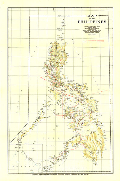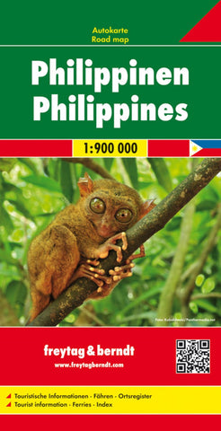
Philippines, road map 1:900,000
Philippines at 1:900,000 on a double-sided, indexed map from Freytag & Berndt with ferry connections for island hopping and icons prominently highlighting numerous places of interest, locations with tourist accommodation including campsites, etc. The map divides the country north/south, with Batan and Babuyan Islands north of Luzon shown as an inset at the same scale as the main map, and the Sulu Archipelago in the far south presented at 1:1,500,000.
Topography is indicated by relief shading with spot heights and names of mountain ranges, peaks, etc. Throughout the whole country numerous smaller islands are named. The map shows the network of road and rail connections on the islands, as well as ferry connections and local airports. Also marked are internal administrative boundaries with names of the provinces. Icons indicate various places of interest including national parks and other protected areas, UNESCO World Heritage sites and other historical sites, temples, etc. The map
- Product Number: FB_PHI_18
- Reference Product Number: 2325064M
- ISBN: 9783707914146
- Date of Publication: 2/15/2018
- Folded Size: 10.02 inches high by 5.11 inches wide
- Unfolded (flat) Size: 10.02 inches high by 5.11 inches wide
- Map format: Folded
- Map type: Trade Maps - Road
- Geographical region: Philippines