
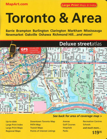
Toronto & Area Deluxe Street Atlas (Large Print) by Canadian Cartographics Corporation
This spiral-bound Toronto & Area street atlas includes expanded large print downtown coverage, street index, TTC subway / Rapid transit map, GO train system map, and over 1,000 streets in the Toronto area from Burlington to the west to Newcastle to the east.
Includes communities of Acton, Ajax, Alliston, Angus, Aurora, Barrie, Beaverton, Beeton, Bolton, Bowmanville, Bradford, Brampton, Brooklin, Burlington, Caledon East, Caledon Village, Carlisle, Cedar Mills, Centreville/Albion, Claremont, Clarington, Cookstown, Courtice, East Gwillimbury, Georgetown, Georgina, Hampton, Holland Landing, Innisfil, Keswick, Kilbride, King City, Kleinburg, Markham, Midhurst, Milton, Mississauga, Mount Albert, Newcastle, Newmarket, Nobleton, Oak Ridges, Oakville, Orangeville, Orono, Oshawa, Palgrave, Pefferlaw, Pickering, Port Perry, Pottageville, Richmond Hill, Schomberg, Solina, Springwater, Stouffville, Sutton, Thornhill, Toronto, Tottenham, Udora, Unionville, Uxbridge, Vandorf, Vaughan, Waterdown, Whitby, Whitchurch-Stouffville, and Woodbridge.
- Product Number: 2258759
- Product Code: CCC_TOR_GRE_AT
- ISBN: 9781551982137
- Year of Publication: 2018
- Unfolded Size: 11.02 x 9.06 inches
- Map type: Atlas
- Geographical region: Ontario


