
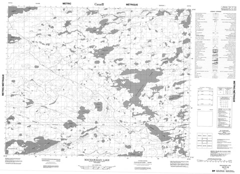
052P16 Machawaian Lake Canada topo map, 1:50,000 scale
052P16 Machawaian Lake NRCAN topographic map.
Includes UTM and GPS geographic coordinates (latitude and longitude). This 50k scale map is suitable for hiking, camping, and exploring, or you could frame it as a wall map.
Printed on-demand using high resolution, on heavy weight and acid free paper, or as an upgrade on a variety of synthetic materials.
Topos available on paper, Waterproof, Poly, or Tyvek. Usually shipping rolled, unless combined with other folded maps in one order.
- Product Number: NRCAN-052P16
- Parent Topo: TOPO-052P
- Map ID also known as: 052P16, 52P16
- Unfolded Size: Approximately 26" high by 36" wide
- Weight (paper map): ca. 55 grams
- Map Type: POD NRCAN Topographic Map
- Map Scale: 1:50,000
- Geographical region: Ontario, Canada
Neighboring Maps:
All neighboring Canadian topo maps are available for sale online at 1:50,000 scale.
Purchase the smaller scale map covering this area: Topo-052P
Spatial coverage:
Topo map sheet 052P16 Machawaian Lake covers the following places:
- East Arm - Asselin Lake - Beeswax Lake - Cadman Lake - Hail Lake - Keezhik Lake - Kenozhe Lake - Machan Lakes - Machawaian Lake - Manitush Lake - Maracle Lake - Oneside Lake - Ozhiski Lake - Philbrook Lake - Podann Lake - Sleet Lake - Waghorn Lake - Wintawanan Lake - Otoskwin-Attawapiskat River Provincial Park - Marten Drinking River - Sleet River


