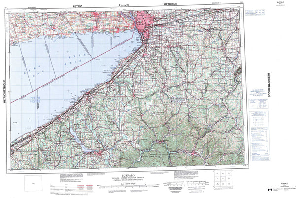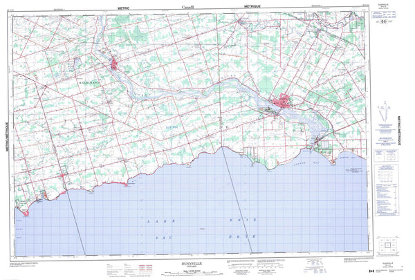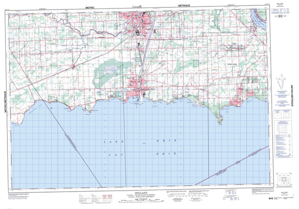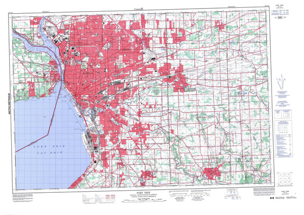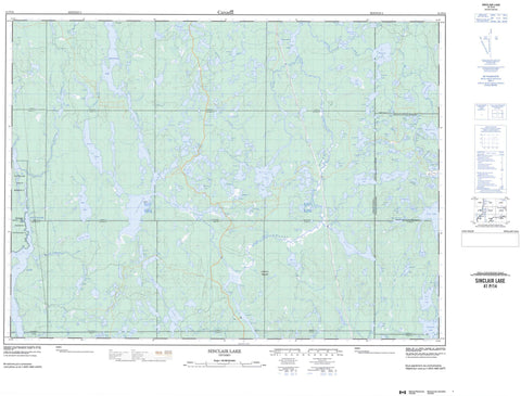
041P14 Sinclair Lake Canada topo map, 1:50,000 scale
041P14 Sinclair Lake NRCAN topographic map.
Includes UTM and GPS geographic coordinates (latitude and longitude). This 50k scale map is suitable for hiking, camping, and exploring, or you could frame it as a wall map.
Printed on-demand using high resolution, on heavy weight and acid free paper, or as an upgrade on a variety of synthetic materials.
Topos available on paper, Waterproof, Poly, or Tyvek. Usually shipping rolled, unless combined with other folded maps in one order.
- Product Number: NRCAN-041P14
- Parent Topo: TOPO-041P
- Map ID also known as: 041P14, 41P14
- Unfolded Size: Approximately 26" high by 36" wide
- Weight (paper map): ca. 55 grams
- Map Type: POD NRCAN Topographic Map
- Map Scale: 1:50,000
- Geographical region: Ontario, Canada
Neighboring Maps:
All neighboring Canadian topo maps are available for sale online at 1:50,000 scale.
Purchase the smaller scale map covering this area: Topo-041P
Spatial coverage:
Topo map sheet 041P14 Sinclair Lake covers the following places:
- Boot Bay - Earl Bay - Northeast Arm - Southeast Arm - Burrows - Cabot - Emerald - Gouin - Halliday - Hutt - Kelvin - Kemp - Knight - Mattagami - Midlothian - Moher - Mond - Montrose - Natal - Nursey - Raymond - Semple - Sothman - Timiskaming - Togo - Mattagami Indian Reserve 71 - Réserve indienne Mattagami 71 - Rawson Island - Annie Lake - Audrea Lake - Banner Lake - Bardwell Lake - Bayson Lake - Belle Lake - Bess Lake - Blair Lake - Bluebottle Lake - Bolton Lake - Bowl Lake - Bowsfield Lake - Bray Lake - Budd Lake - Burrows Lake - Cabot Lake - Campbell Lake - Canoeshed Lake - Caribou Lake - Cecil Lake - Chamandy Lake - Chicot Lake - Cork Lake - Corkscrew Lake - Deratnay Lake - Drop Lake - Dumbell Lake - Edleston Lake - Ember Lake - Fault Lake - Ferris Lake - Flat Lake - Fold Lake - Foy Lake - Frank Lake - Gelinas Lake - Grassy Lake - Groom Lake - Haddad Lake - Halliday Lake - Holbrooke Lake - Hutt Lake - Jeff Lake - Jumping Moose Lake - Junction Lake - Kapiskong Lake - Kelly Lake - Kwitosse Lake - Leaming Lake - Lehmann Lake - Little Reading Lake - Little Redstone Lake - Little Seganku Lake - Little Winding Lake - Lloyd Lake - Loonwing Lake - Lost Cabin Lake - Mac Lake - Macfie Lake - Marne Lake - Marshall Lake - Mattagami Lake - Mavis Lake - McLennan Lake - Melick Lake - Midlothian Lake - Mitre Lake - Mitt Lake - Moher Lake - Mond Lake - Montrose Lake - Mule Lake - Net Lake - North Moher Lake - Noswar Lake - Nugent Lake - Nursey Lake - Orling Lake - Otto Lake - Parting Lake - Patricia Lake - Penguin Lake - Perth Lake - Pigeon Lake - Pinic Lake - Pountney Lake - Radio Lake - Reading Lake - Redstone Lake - Redwing Lake - Relic Lake - Rhyolite Lake - Ring Lake - Robbie Lake - Rosetta Lake - Semple Lake - Seveninch Lake - Shear Lake - Silver Lake - Silverbirch Lake - Sinclair Lake - Sirola Lake - Slipper Lake - Smylie Lake - Sothman Lake - Spruce Lake - Strange Lake - Strike Lake - String Lake - Teddy Lake - Tee Bone Lake - Tory Lake - Trap Lake - Two Lodge Lake - Upper Grassy Lake - Upper Redwing Lake - Upper Winding Lake - Ward Lake - Waterman Lake - Weary Lake - Wellington Lake - Winding Lake - Wood Lake - Wrigley Lake - Sansawaju Mountain - Matachewan - Grassy River Halliday Lake Forests and Lowlands Conservation Reserve - Grassy River-Mond Lake Lowlands and Ferris Lake Uplands Provincial Park - Burrows Creek - Dumbell Creek - Ember Creek - Gouin Creek - Grassy River - Hassard Creek - Hutt Creek - Kelvin Creek - Lehmann Creek - Marne Creek - Midlothian Creek - Moher Creek - Mond Creek - Nursey Creek - Parting Creek - Perth Creek - Redstone River - Redwing Creek - Relic Creek - Seganku Creek - Sothman Creek

