
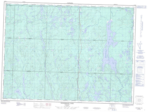
041O06 Wenebegon Lake Canada topo map, 1:50,000 scale
041O06 Wenebegon Lake NRCAN topographic map.
Includes UTM and GPS geographic coordinates (latitude and longitude). This 50k scale map is suitable for hiking, camping, and exploring, or you could frame it as a wall map.
Printed on-demand using high resolution, on heavy weight and acid free paper, or as an upgrade on a variety of synthetic materials.
Topos available on paper, Waterproof, Poly, or Tyvek. Usually shipping rolled, unless combined with other folded maps in one order.
- Product Number: NRCAN-041O06
- Parent Topo: TOPO-041O
- Map ID also known as: 041O06, 41O6, 41O06
- Unfolded Size: Approximately 26" high by 36" wide
- Weight (paper map): ca. 55 grams
- Map Type: POD NRCAN Topographic Map
- Map Scale: 1:50,000
- Geographical region: Ontario, Canada
Neighboring Maps:
All neighboring Canadian topo maps are available for sale online at 1:50,000 scale.
Purchase the smaller scale map covering this area: Topo-041O
Spatial coverage:
Topo map sheet 041O06 Wenebegon Lake covers the following places:
- Berthelot Bay - 10C - 10D - 10E - 10F - 10G - 11C - 11D - 11E - 11F - 11G - 8C - 8D - 8E - 8F - 8G - 9C - 9D - 9E - 9F - 9G - Beckett - Bernier - Birch - Bounsall - Carruthers - Carton - Cassidy - Deans - Drea - Green - Hutcheon - Jeffries - Kalen - Langlois - Lynch - Patenaude - Reaney - Strom - Sudbury - Vondette - Whitehead - Bobcam Lake - Burntwood Lake - Burying Lake - Buttonshoe Lake - Campbell Lake - Chene Lake - Clove Lake - Cow Lake - Firetrail Lake - Flame Lake - Gagne Lake - Grip Lake - Haddock Lake - Harland Lake - Honey Lake - Isbister Lake - Kolari Lake - Mather Lake - McCallum Lake - Nemi Lake - Nushatogaini Lake - Ojay Lake - Peedy Lake - Peggy Lake - Pike Lake - Portal Lake - Prairie Grass Lake - Robinson Lake - Shand Lake - Stickland Lake - Tassel Lake - Vezina Lake - Vincent Lake - Wabus Lake - Wenebegon Lake - Weshaygo Lake - White Rat Lake - Wolotka Lake - Zimmerman Lake - East Wenebegon Forest Conservation Reserve - Wenebegon River Provincial Park - Aubinadong River - Burntwood River - Cow River - Dead Mans Creek - Farewell Creek - Firetrail Creek - Haddock Creek - Harland Creek - Honey Creek - Kebskwasheshi River - Little Wenebegon River - Nushatogaini River - Robinson Creek - Wabus Creek - Wenebegon River - Zimmerman Creek


