
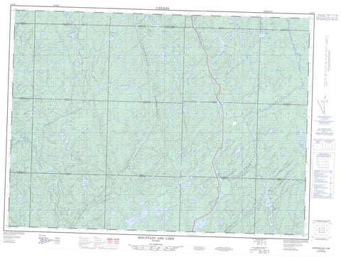
041O03 Mountain Ash Lake Canada topo map, 1:50,000 scale
041O03 Mountain Ash Lake NRCAN topographic map.
Includes UTM and GPS geographic coordinates (latitude and longitude). This 50k scale map is suitable for hiking, camping, and exploring, or you could frame it as a wall map.
Printed on-demand using high resolution, on heavy weight and acid free paper, or as an upgrade on a variety of synthetic materials.
Topos available on paper, Waterproof, Poly, or Tyvek. Usually shipping rolled, unless combined with other folded maps in one order.
- Product Number: NRCAN-041O03
- Parent Topo: TOPO-041O
- Map ID also known as: 041O03, 41O3, 41O03
- Unfolded Size: Approximately 26" high by 36" wide
- Weight (paper map): ca. 55 grams
- Map Type: POD NRCAN Topographic Map
- Map Scale: 1:50,000
- Geographical region: Ontario, Canada
Neighboring Maps:
All neighboring Canadian topo maps are available for sale online at 1:50,000 scale.
Purchase the smaller scale map covering this area: Topo-041O
Spatial coverage:
Topo map sheet 041O03 Mountain Ash Lake covers the following places:
- Seven Mile Bay - 5C - 5D - 5E - 5F - 5G - 6C - 6D - 6E - 6F - 6G - 7C - 7D - 7E - 7F - 7G - 8C - 8D - 8E - 8F - 8G - Carruthers - Carton - Cassidy - Deans - Drea - Ewen - Ferrier - Foulds - Gaunt - Gilbertson - Handleman - Havrot - Jessiman - Lane - Laughren - Maeck - Martel - McIlveen - McNie - Meen - Sudbury - Alden Lake - Archibald Lake - Beak Lake - Burntwood Lake - Campbell Lake - Cliff Lake - Clove Lake - Doull Lake - Flamingo Lake - Fox Lake - Glade Lake - Gregory Lake - Hamper Lake - Hinckler Lake - Hixon Lake - Honey Lake - Hook Lake - Hosmer Lake - Lost Lake - Lunch Lake - Marisea Lake - McLeod Lake - Mountain Ash Lake - Murray Lake - North Maskuti Lake - Oboe Lake - Pine Lake - Pluto Lake - Rock Candy Lake - Rocky Island Lake - Sari Lake - Seabrook Lake - Sixcee Lake - Spud Lake - Stickland Lake - Tarzan Lake - Torrance Lake - White Rock Lake - Wilder Lake - Aubinadong River Provincial Park - Aubrey Falls Provincial Park - Aubinadong River - Burntwood River - Embarass River - Firetrail Creek - Gong Creek - Hamper Creek - Hinckler Creek - Hixon Creek - Honey Creek - Little Aubinadong River - Mountain Ash Creek - Nushatogaini River - Peshu Creek - Rouelle Creek - Seabrook Creek - Wenebegon River - West Aubinadong River - White Rock Creek


